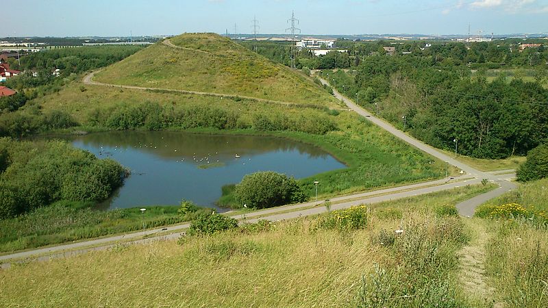
Hasle Hills, Aarhus
Map

Gallery

Facts and practical information
Hasle Hills is a landscape and recreational area of 15.5 hectares in Aarhus, Denmark. It is located in the borderland between Hasle and the neighbourhood of Gellerup in the district of Aarhus V in the western parts of the city. Hasle Hills is part of the nature protection area of Naturen på Holmstrup Mark, which also contains parts of the larger recreational area of Skjoldhøjkilen, stretching west from Hasle Hills. ()
Local name: Hasle BakkerCoordinates: 56°10'1"N, 10°8'31"E
Address
Tilst (Skjoldhøj)Aarhus
ContactAdd
Social media
Add
Day trips
Hasle Hills – popular in the area (distance from the attraction)
Nearby attractions include: Gellerup, Skjoldhøjkilen, Åbyhøj Church, Hasle Kirke.
Frequently Asked Questions (FAQ)
Which popular attractions are close to Hasle Hills?
Nearby attractions include Skjoldhøjkilen, Aarhus (11 min walk), Bispehaven, Aarhus (16 min walk), Aarhus Runestones, Aarhus (18 min walk), Hasle Kirke, Aarhus (20 min walk).
How to get to Hasle Hills by public transport?
The nearest stations to Hasle Hills:
Bus
Bus
- Bautavej/Åby Ringvej • Lines: 6A (7 min walk)
- Edwin Rahrs Vej/Åby Ringvej • Lines: 6A (9 min walk)


