Studsgade, Aarhus
Map

Gallery

Facts and practical information
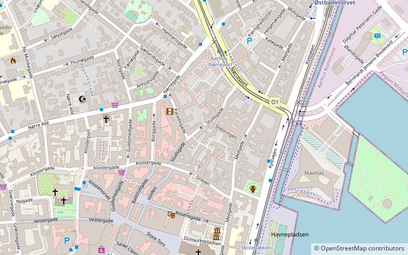
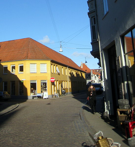
Studsgade is a street in Aarhus which runs north to south from Nørreport to Klostergade and Graven. The street is situated in the historic Latin Quarter neighborhood and is home to four listed buildings. The street has existed since at least the 1400s, when it was known as Sturisgade and Stus Gaden, probably for councillor Jep Sture, who had a house there. It was officially given its current name in 1796. ()
Length: 902 ftCoordinates: 56°9'35"N, 10°12'39"E
Address
Århus C (Midtbyen)Aarhus
ContactAdd
Social media
Add
Day trips
Studsgade – popular in the area (distance from the attraction)
Nearby attractions include: Badeanstalten Spanien, Bruun's Galleri, Aarhus Cathedral, Viking Museum.
Frequently Asked Questions (FAQ)
Which popular attractions are close to Studsgade?
Nearby attractions include Mejlgade, Aarhus (2 min walk), Sct. Oluf, Aarhus (2 min walk), Møllestien, Aarhus (2 min walk), Graven, Aarhus (3 min walk).
How to get to Studsgade by public transport?
The nearest stations to Studsgade:
Bus
Light rail
Tram
Train
Bus
- Nørregade • Lines: 18, 1A (3 min walk)
- Aarhus - Navitas/Kystvejen • Lines: 123, 200 (4 min walk)
Light rail
- Nørreport • Lines: L2 (4 min walk)
- Aarhus H • Lines: L2 (19 min walk)
Tram
- Nørreport • Lines: L2 (4 min walk)
- Skolebakken • Lines: L2 (6 min walk)
Train
- Skolebakken (6 min walk)
- Østbanetorvet (8 min walk)


