Vestergade, Aarhus
Map

Gallery

Facts and practical information
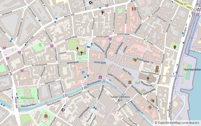
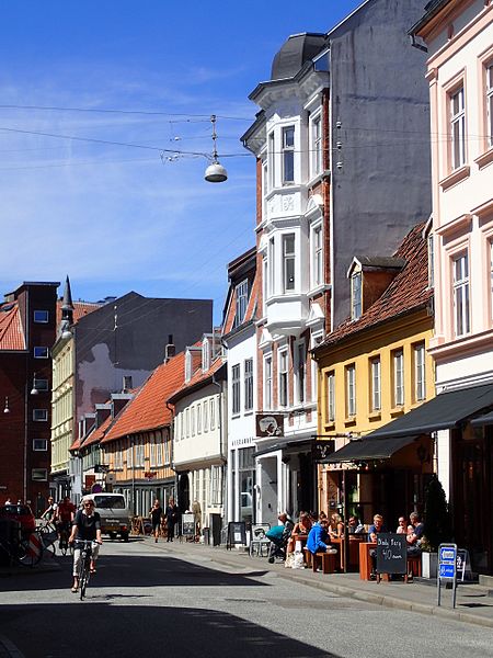
Vestergade is a street in Aarhus, Denmark, which runs east to west from the central square of Store Torv to the city park of Åparken at Carl Blochs Gade, intersecting the main streets of Grønnegade and Vester Allé along its course. Vestergade begins in the Indre By neighborhood and ends in neighborhood of Vesterbro, close to CeresByen. Vestergade has some of the best preserved 18th-century merchant estates in Aarhus and a history of creativity and artistic expression. ()
Length: 2356 ftCoordinates: 56°9'27"N, 10°12'24"E
Address
Århus C (Midtbyen)Aarhus
ContactAdd
Social media
Add
Day trips
Vestergade – popular in the area (distance from the attraction)
Nearby attractions include: Badeanstalten Spanien, Bruun's Galleri, Aarhus Cathedral, Viking Museum.
Frequently Asked Questions (FAQ)
Which popular attractions are close to Vestergade?
Nearby attractions include Lille Torv, Aarhus (1 min walk), Immervad, Aarhus (1 min walk), Vor Frue Kirke, Aarhus (2 min walk), Latinerkvarteret, Aarhus (2 min walk).
How to get to Vestergade by public transport?
The nearest stations to Vestergade:
Bus
Tram
Train
Light rail
Bus
- Emil Vetts Passage • Lines: 11, 13, 18, 1A, 2A, 3A, 4A (2 min walk)
- Klostertorvet • Lines: 100, 11, 13, 18, 1A, 2A, 3A, 4A (2 min walk)
Tram
- Skolebakken • Lines: L2 (7 min walk)
- Nørreport • Lines: L2 (9 min walk)
Train
- Skolebakken (7 min walk)
- Østbanetorvet (14 min walk)
Light rail
- Nørreport • Lines: L2 (9 min walk)
- Aarhus H • Lines: L2 (14 min walk)


