Bertel Thorvaldsens Plads, Copenhagen
Map

Gallery

Facts and practical information
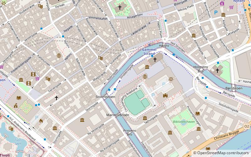
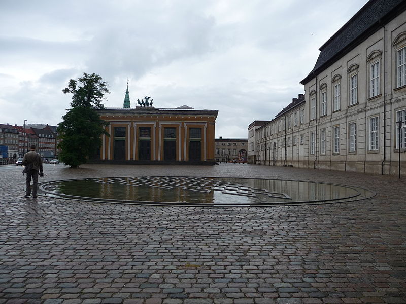
Bertel Thorvaldsens Plads is a public square located in front of Thorvaldsens Museum on Slotsholmen in central Copenhagen, Denmark. The two other sides of the triangular space are defined by the rear of Christiansborg Riding Grounds and Vindebrovej, the street along the Slotsholmen Canal which separates Slotsholmen from Gammel Strand. ()
Address
Indre By (Slotsholmen)Copenhagen
ContactAdd
Social media
Add
Day trips
Bertel Thorvaldsens Plads – popular in the area (distance from the attraction)
Nearby attractions include: Tivoli, Strøget, Købmagergade, Karel van Mander House.
Frequently Asked Questions (FAQ)
Which popular attractions are close to Bertel Thorvaldsens Plads?
Nearby attractions include Jason with the Golden Fleece, Copenhagen (2 min walk), Thorvaldsens Museum, Copenhagen (2 min walk), Royal Stables, Copenhagen (2 min walk), Gammel Strand, Copenhagen (2 min walk).
How to get to Bertel Thorvaldsens Plads by public transport?
The nearest stations to Bertel Thorvaldsens Plads:
Bus
Metro
Ferry
Train
Light rail
Bus
- Stormbroen, Nationalmuseet • Lines: 23, 2A (2 min walk)
- Gammel Strand St., Christiansborg • Lines: 23, 2A (3 min walk)
Metro
- Gammel Strand • Lines: M3, M4 (3 min walk)
- Rådhuspladsen • Lines: M3, M4 (10 min walk)
Ferry
- Det Kongelige Bibliotek • Lines: 991, 992 (8 min walk)
- Knippelsbro • Lines: 991, 992 (11 min walk)
Train
- Copenhagen Central Station (14 min walk)
- Nørreport (15 min walk)
Light rail
- Nørreport • Lines: A, B, Bx, C, E, H (14 min walk)
- Copenhagen Central Station • Lines: A, B, Bx, C, E, H (15 min walk)

 Metro
Metro


