Trelleborg - museum of the Viking Age, Slagelse

Gallery (1)
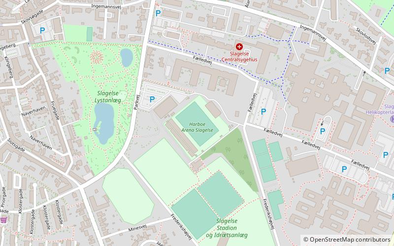
Map
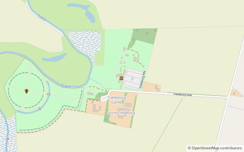
Map
Facts and practical information
Trelleborg - museum of the Viking Age (address: Trelleborg Allé 4, Hejninge) is a place located in Slagelse (Sjælland region) and belongs to the category of museum, eat and drink, cafe.
It is situated at an altitude of 7 feet, and its geographical coordinates are 55°23'41"N latitude and 11°16'19"E longitude.
Among other places and attractions worth visiting in the area are: Trelleborg (museum, 7 min walk), Slagelse Stadium (sport, 93 min walk), Tårnborg Kirke (church, 114 min walk).
Coordinates: 55°23'41"N, 11°16'19"E
Day trips