Sankt Povls Kirke, Korsør

Gallery (1)
Map
Map
Facts and practical information
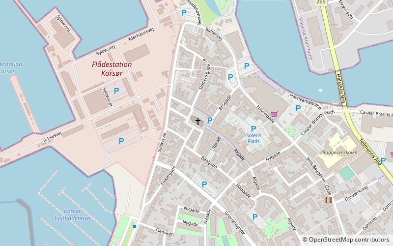
Sankt Povls Kirke (address: Kirkepladsen 5) is a place located in Korsør (Sjælland region) and belongs to the category of church.
It is situated at an altitude of 3 feet, and its geographical coordinates are 55°19'49"N latitude and 11°8'10"E longitude.
Among other places and attractions worth visiting in the area are: Kongegaarden (museum, 6 min walk), Tårnborg Kirke (church, 64 min walk), Trelleborg (museum, 172 min walk).
Coordinates: 55°19'49"N, 11°8'10"E
Day trips
Sankt Povls Kirke – popular in the area (distance from the attraction)
Nearby attractions include: Trelleborg, Tårnborg Kirke, Kongegaarden, Trelleborg - museum of the Viking Age.


