Halmtorvet, Copenhagen
Map

Gallery

Facts and practical information
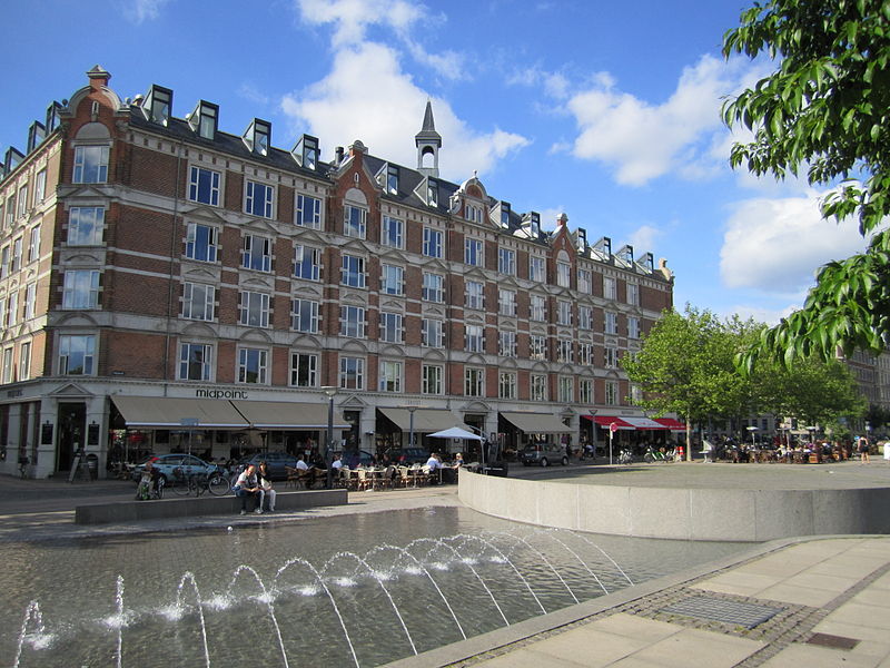
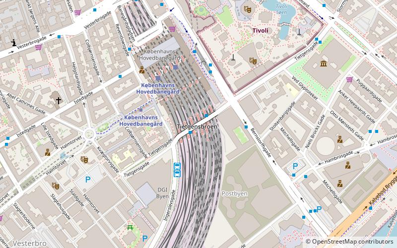
Halmtorvet is a public square in the Vesterbro district of Copenhagen, Denmark. It is located next to Copenhagen Central Station in front of the Meat District. The oblong square eventually turns into Sønder Boulevard, a broad street with a park strip in its central reserve, which continues to Enghavevej at Enghave station. ()
Address
Halmtorvet 9AVesterbro - Kongens Enghave (Flæsketorvets)Copenhagen
Contact
Social media
Add
Day trips
Halmtorvet – popular in the area (distance from the attraction)
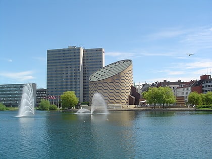
Nearby attractions include: DGI-byen, Star Flyer, Tycho Brahe Planetarium, Museum of Copenhagen.
Frequently Asked Questions (FAQ)
Which popular attractions are close to Halmtorvet?
Nearby attractions include Husets Teater, Copenhagen (2 min walk), Warehouse 9, Copenhagen (2 min walk), Øksnehallen, Copenhagen (3 min walk), Viktoriagade, Copenhagen (3 min walk).
How to get to Halmtorvet by public transport?
The nearest stations to Halmtorvet:
Bus
Metro
Light rail
Train
Ferry
Bus
- Gasværksvej • Lines: 23 (3 min walk)
- Hovedbanegården DGI byen • Lines: 032, 073, 173, 602, 613, 620, 621, 625, 627, 628, 633, 820, N05, N110, N132, N1376, N232, N32, N602, N613, N73, N844 (6 min walk)
Metro
- Copenhagen Central Station • Lines: M3, M4 (5 min walk)
- Enghave Plads • Lines: M3 (15 min walk)
Light rail
- Copenhagen Central Station • Lines: A, B, Bx, C, E, H (7 min walk)
- Dybbølsbro • Lines: A, B, Bx, C, E, H (9 min walk)
Train
- Copenhagen Central Station (7 min walk)
- Havneholmen (16 min walk)
Ferry
- Bryggebroen • Lines: 991, 992 (17 min walk)
- Det Kongelige Bibliotek • Lines: 991, 992 (21 min walk)

 Metro
Metro


