Tietgensgade, Copenhagen
Map
Facts and practical information
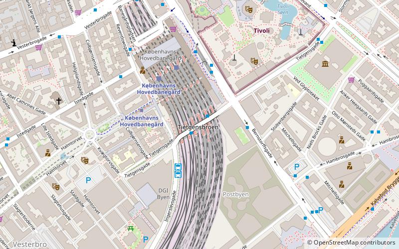
Tietgensgade is a street in central Copenhagen, Denmark. It runs from H. C. Andersens Boulevard in the northeast to Kvlgtorvgade at the Meat-Packing District in the southwest, linking Stormgade in the city centre with Halmtorvet and Sønder Boulevard in Vesterbro. The street follows the rear side of Tivoli Gardens and Copenhagen Central Station. The viaduct that carries it across the railway tracks at the central station is known as Tietgensbro. A series of staircases and lifts provides direct access from the viaduct to the station platforms. ()
Coordinates: 55°40'16"N, 12°33'59"E
Address
Vesterbro - Kongens Enghave (Reventlows)Copenhagen
ContactAdd
Social media
Add
Getting there by public transportation
Public transportation stops near this location
- Metro
- Bus
- Light rail
- Train
- Ferry
 Metro
Metro
- Calculate routeFlixbus 3 min walk
- Calculate routeHovedbanegården DGI byen 3 min walk
- Calculate routeHovedbanegården, Tivoli 3 min walk
- Calculate routeHovedbanegården 6 min walk
- Calculate routeCopenhagen Central Station 3 min walk
- Calculate routeRådhuspladsen 10 min walk
- Calculate routeGammel Strand 17 min walk
- Calculate routeEnghave Plads 21 min walk
- Calculate routeCopenhagen Central Station 3 min walk
- Calculate routeVesterport 10 min walk
- Calculate routeDybbølsbro 13 min walk
- Calculate routeNørreport 23 min walk
- Calculate routeCopenhagen Central Station 3 min walk
- Calculate routeHavneholmen 19 min walk
- Calculate routeNørreport 24 min walk
- Calculate routeEnghave Brygge 32 min walk
- Calculate routeDet Kongelige Bibliotek 15 min walk
- Calculate routeBryggebroen 17 min walk
- Calculate routeKnippelsbro 22 min walk
- Calculate routeNyhavn 32 min walk
Maps Metro
Metro
MetroDay trips
Tietgensgade – popular in the area (distance from the attraction)
Nearby attractions include: Tivoli, Ny Carlsberg Glyptotek, Glass Hall, DGI-byen.


Frequently Asked Questions (FAQ)
Which popular attractions are close to Tietgensgade?
Nearby attractions include Copenhagen Central Station, Copenhagen (2 min walk), Ingerslevsgade, Copenhagen (3 min walk), Bernstorffsgade, Copenhagen (3 min walk), Star Flyer, Copenhagen (4 min walk).
How to get to Tietgensgade by public transport?
The nearest stations to Tietgensgade:
Bus
Metro
Light rail
Train
Ferry
Bus
- Flixbus (3 min walk)
- Hovedbanegården DGI byen • Lines: 032, 073, 173, 602, 613, 620, 621, 625, 627, 628, 633, 820, N05, N110, N132, N1376, N232, N32, N602, N613, N73, N844 (3 min walk)
Metro
- Copenhagen Central Station • Lines: M3, M4 (3 min walk)
- Rådhuspladsen • Lines: M3, M4 (10 min walk)
Light rail
- Copenhagen Central Station • Lines: A, B, Bx, C, E, H (3 min walk)
- Vesterport • Lines: A, B, Bx, C, E, H (10 min walk)
Train
- Copenhagen Central Station (3 min walk)
- Havneholmen (19 min walk)
Ferry
- Det Kongelige Bibliotek • Lines: 991, 992 (15 min walk)
- Bryggebroen • Lines: 991, 992 (17 min walk)