Dronning Louises Bro, Copenhagen
Map

Gallery

Facts and practical information
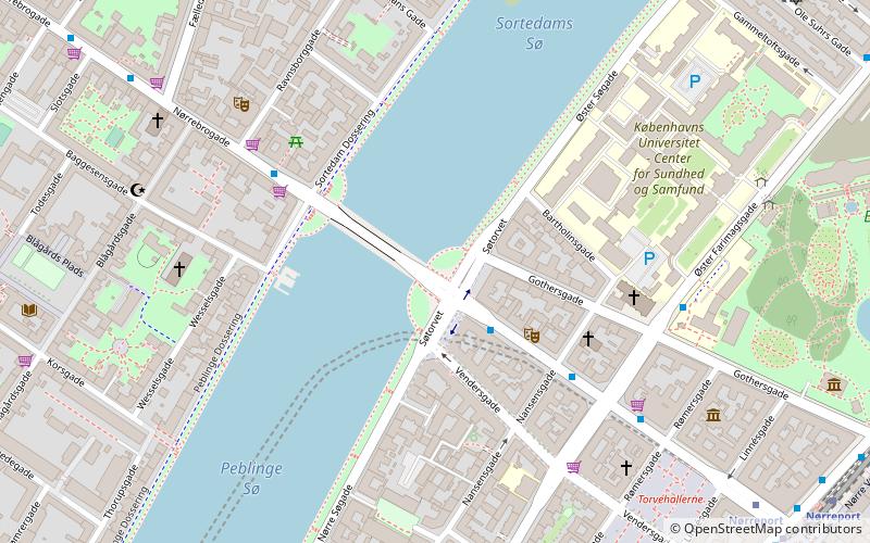
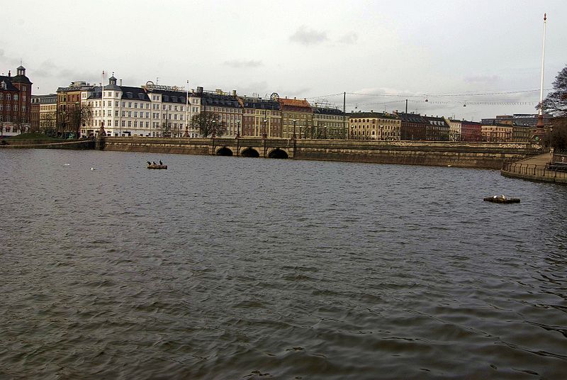
Dronning Louises Bro is a bridge across The Lakes in central Copenhagen, Denmark. It joins Frederiksborggade in Indre By with Nørrebrogade in Nørrebro and separates Sortedam Lake to the northeast from Peblinge Lake to the south west. ()
Address
Dronning Louises BroIndre By (Kommunehospitalets)Copenhagen 1360
Contact
+45 51 22 00 02
Social media
Add
Day trips
Dronning Louises Bro – popular in the area (distance from the attraction)
Nearby attractions include: Botanical Garden, Søpavillonen, Nørrebro Bryghus, The Lakes.
Frequently Asked Questions (FAQ)
Which popular attractions are close to Dronning Louises Bro?
Nearby attractions include Søtorvet, Copenhagen (1 min walk), Søgade, Copenhagen (2 min walk), Sortedam Dossering, Copenhagen (3 min walk), St. Andrew's Church, Copenhagen (5 min walk).
How to get to Dronning Louises Bro by public transport?
The nearest stations to Dronning Louises Bro:
Bus
Metro
Light rail
Train
Ferry
Bus
- Søtorvet • Lines: 5C (2 min walk)
- Ravnsborggade • Lines: 5C (4 min walk)
Metro
- Nørreport • Lines: M1, M2 (8 min walk)
- Forum • Lines: M1, M2 (15 min walk)
Light rail
- Nørreport • Lines: A, B, Bx, C, E, H (9 min walk)
- Vesterport • Lines: A, B, Bx, C, E, H (19 min walk)
Train
- Nørreport (9 min walk)
- Copenhagen Central Station (25 min walk)
Ferry
- Det Kongelige Bibliotek • Lines: 991, 992 (30 min walk)
- Knippelsbro • Lines: 991, 992 (31 min walk)

 Metro
Metro


