Botanical Museum, Copenhagen

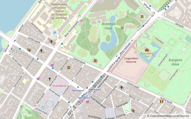
Map
Facts and practical information
The Botanical Museum in Copenhagen originated as a part of the Copenhagen Botanical Garden, which was established in 1600. It was later separated as an independent institution. Since 2004, the Botanical Museum forms part of the Natural History Museum of Denmark under the University of Copenhagen. It does not have exhibitions open to the public. ()
Coordinates: 55°41'7"N, 12°34'22"E
Address
Indre By (Kommunehospitalets)Copenhagen
ContactAdd
Social media
Add
Day trips
Botanical Museum – popular in the area (distance from the attraction)
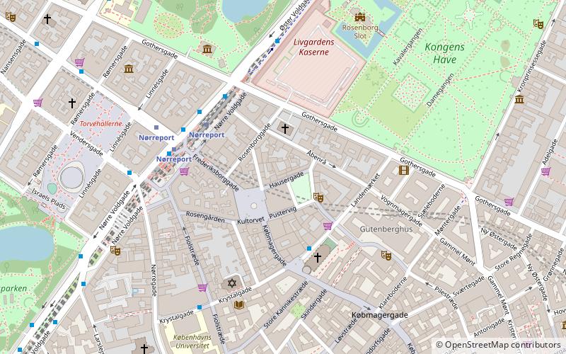
Nearby attractions include: Strøget, Rosenborg, Købmagergade, Botanical Garden.
Frequently Asked Questions (FAQ)
Which popular attractions are close to Botanical Museum?
Nearby attractions include Tornebuskegade, Copenhagen (3 min walk), Worker's Museum, Copenhagen (3 min walk), Nørre Voldgade, Copenhagen (3 min walk), Botanical Garden, Copenhagen (4 min walk).
How to get to Botanical Museum by public transport?
The nearest stations to Botanical Museum:
Train
Bus
Metro
Light rail
Ferry
Train
- Nørreport (3 min walk)
- Østerport (22 min walk)
Bus
- Nørreport St. • Lines: 14, 150S, 15E, 184, 185, 350S, 5C, 6A (3 min walk)
- Gothersgade • Lines: 14 (4 min walk)
Metro
- Nørreport • Lines: M1, M2 (3 min walk)
- Gammel Strand • Lines: M3, M4 (15 min walk)
Light rail
- Nørreport • Lines: A, B, Bx, C, E, H (4 min walk)
- Vesterport • Lines: A, B, Bx, C, E, H (19 min walk)
Ferry
- Nyhavn • Lines: 991, 992 (24 min walk)
- Knippelsbro • Lines: 991, 992 (24 min walk)
 Metro
Metro


