Siø
Map

Map

Facts and practical information
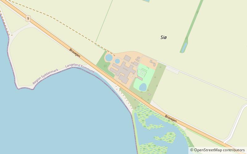
Siø is a small Danish island in the South Funen Archipelago between Tåsinge and Langeland. It is part of Langeland Municipality. With an area of 1.3 km2, as of 1 January 2014 it has a population of 16. Since 1681, a system of dykes has expanded it to include the former islands of Skovø and Store Fugleø. In 1959, it was connected to Tåsinge by a causeway and a low bridge and, in 1962, to Langeland by a bridge. Today the island is used mainly for pig farming. ()
Location
Syddanmark
ContactAdd
Social media
Add
Day trips
Siø – popular in the area (distance from the attraction)
Nearby attractions include: Valdemars Slot, Rudkøbing Havn, Church, Langeland Bridge.


