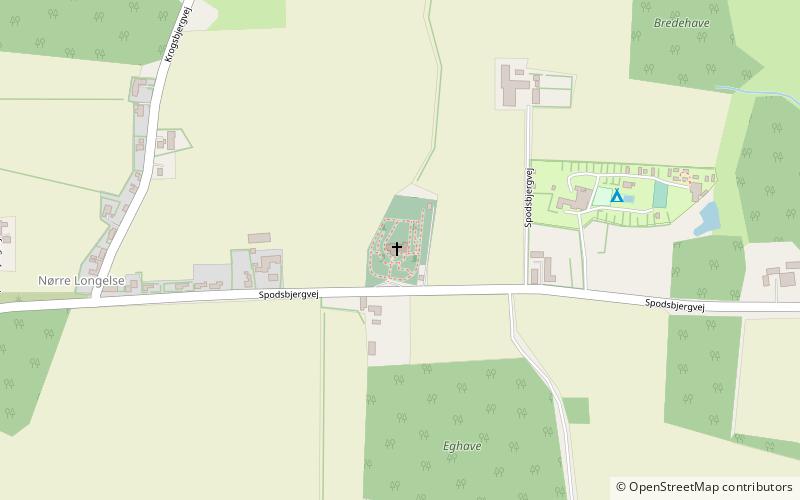
Longelse Kirke, Rudkøbing

Gallery (1)
Map
Map
Facts and practical information
Longelse Kirke (address: Spodsbjergvej 271) is a place located in Rudkøbing (Syddanmark region) and belongs to the category of church.
It is situated at an altitude of 56 feet, and its geographical coordinates are 54°55'25"N latitude and 10°48'3"E longitude.
Among other places and attractions worth visiting in the area are: Simmerbølle Kirke (church, 54 min walk), DDR Museum Langeland, Svendborg (museum, 61 min walk), Langelands museum (museum, 86 min walk).
Coordinates: 54°55'25"N, 10°48'3"E
Day trips


