Skanderup Kirke, Skanderborg

Gallery (1)
Map
Map
Facts and practical information
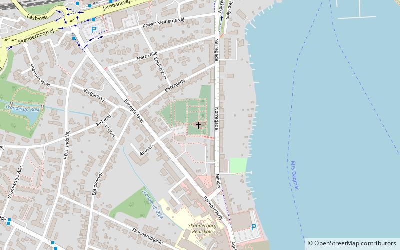
Skanderup Kirke (address: Kirkebakken 4) is a place located in Skanderborg (Midtjylland region) and belongs to the category of church.
It is situated at an altitude of 128 feet, and its geographical coordinates are 56°2'25"N latitude and 9°55'44"E longitude.
Among other places and attractions worth visiting in the area are: Kulturhuset (concerts and shows, 10 min walk), Illerup Ådal (archaeological site, 23 min walk), Skanderborg Slotskirke (church, 24 min walk).
Coordinates: 56°2'25"N, 9°55'44"E
Address
Kirkebakken 4Skanderborg
ContactAdd
Social media
Add
Day trips


