Vejlby-Risskov Hallen, Aarhus
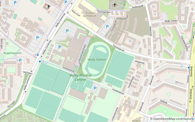
Map

Map

Facts and practical information
Local name: Vejlby/Risskov CentretCoordinates: 56°11'33"N, 10°12'37"E
Address
Vejlby Centervej 51Vejlby RisskovAarhus 8240
ContactAdd
Social media
Add
Day trips
Vejlby-Risskov Hallen – popular in the area (distance from the attraction)
Nearby attractions include: Mollerup Skov, Riis Skov, Vejlby Church, Randersvej Water Tower.
Frequently Asked Questions (FAQ)
Which popular attractions are close to Vejlby-Risskov Hallen?
Nearby attractions include Vejlby Church, Aarhus (5 min walk), Vejlby, Aarhus (7 min walk), Aarhus N, Aarhus (18 min walk), Ellevang Church, Aarhus (19 min walk).
How to get to Vejlby-Risskov Hallen by public transport?
The nearest stations to Vejlby-Risskov Hallen:
Bus
Tram
Light rail
Bus
- Risskov Gymnasium/Vejlby Centervej • Lines: 1A, 6A (7 min walk)
- Tretommervej • Lines: 100, 123, 18, 1A (9 min walk)
Tram
- Nehrus Allé • Lines: L2 (20 min walk)
- Vandtårnet • Lines: L2 (22 min walk)
Light rail
- Vandtårnet • Lines: L2 (22 min walk)
- Olof Palmes Allé • Lines: L2 (27 min walk)


