Vestereng, Aarhus

Gallery (10)
Map


Map

Gallery
Facts and practical information
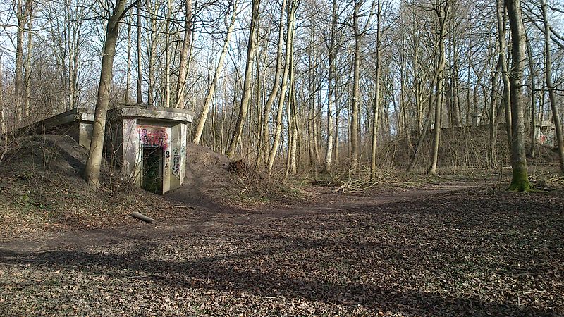
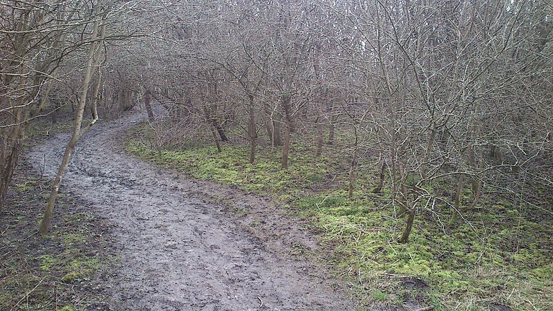
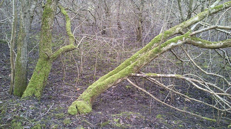
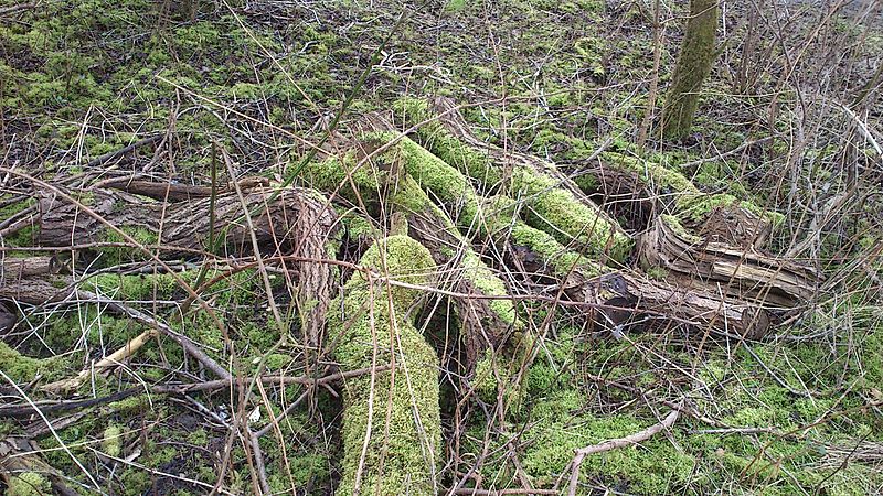
Vestereng is a nature site in the environs of northern Aarhus and the suburb of Skejby. The name literally translates as 'westward meadow'. The Municipality of Aarhus took ownership in 1939. ()
Coordinates: 56°11'12"N, 10°10'47"E
Address
ChristiansbjergAarhus
ContactAdd
Social media
Add
Getting there by public transportation
Public transportation stops near this location
- Bus
- Tram
- Light rail
 Bus
Bus
- Calculate routeOlof Palmes Allé 7 min walk
- Calculate routeAarhus Universitetshospital Skejby indgang E/F 7 min walk
- Calculate routeAarhus Universitetshospital Skejby indgang B/C/D 8 min walk
- Calculate routeHedeager/Brendstrupgårdsvej 10 min walk
- Calculate routeOlof Palmes Allé 7 min walk
- Calculate routeUniversitetshospitalet 11 min walk
- Calculate routeVandtårnet 19 min walk
- Calculate routeGl. Skejby 22 min walk
- Calculate routeOlof Palmes Allé 7 min walk
- Calculate routeNehrus Allé 14 min walk
- Calculate routeVandtårnet 19 min walk
- Calculate routeStockholmsgade 25 min walk
Day trips


Frequently Asked Questions (FAQ)
Which popular attractions are close to Vestereng?
Nearby attractions include Randersvej Water Tower, Aarhus (18 min walk), Christianskirken, Aarhus (23 min walk), Marienlyst Park, Aarhus (23 min walk), Skejby, Aarhus (24 min walk).
How to get to Vestereng by public transport?
The nearest stations to Vestereng:
Bus
Light rail
Tram
Bus
- Olof Palmes Allé • Lines: 6A (7 min walk)
- Aarhus Universitetshospital Skejby indgang E/F • Lines: 2A, 6A (7 min walk)
Light rail
- Olof Palmes Allé • Lines: L2 (7 min walk)
- Universitetshospitalet • Lines: L2 (11 min walk)
Tram
- Olof Palmes Allé • Lines: L2 (7 min walk)
- Nehrus Allé • Lines: L2 (14 min walk)