Ingerslevs Boulevard, Aarhus

Gallery (5)
Map

Map

Gallery
Facts and practical information
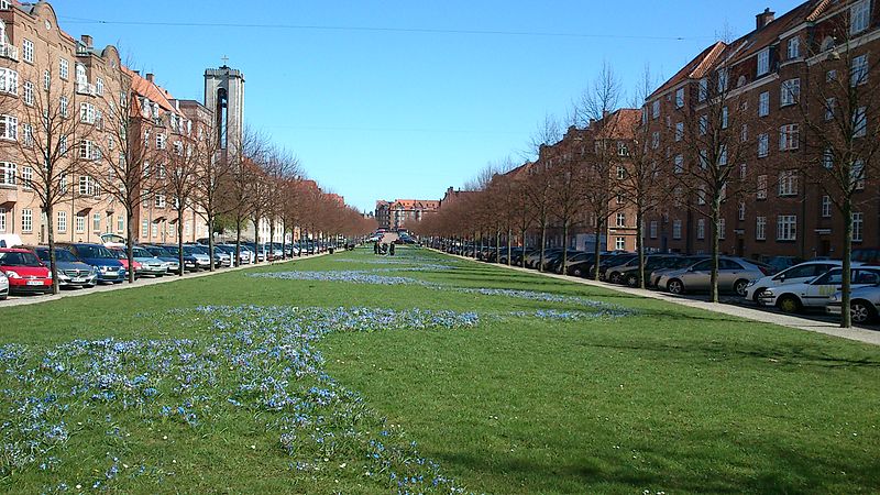
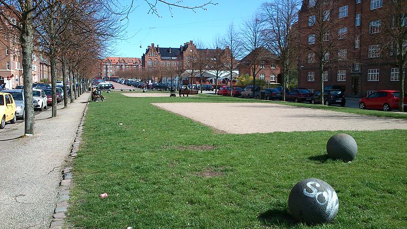
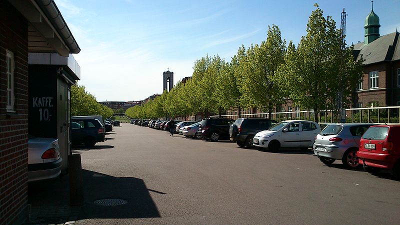
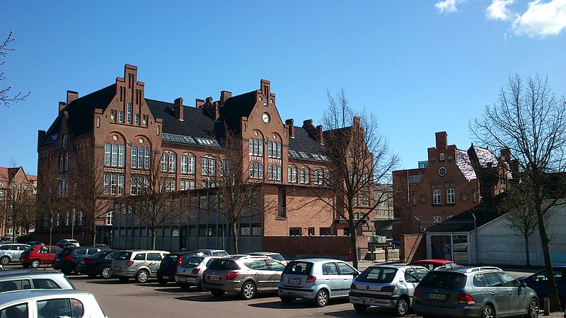
Ingerslevs Boulevard is a street in Aarhus, Denmark. It is 500 meters long and runs west to east from Harald Jensen's Plads to Skt. Anna Gade. The street is situated in the Frederiksbjerg neighborhood where it is functionally the main street but parts of it also acts as a public green space owing to width and central lawn. Ingerslevs Boulevard is home to St. Luke's Church and two schools, N.J. Fjordgade's School and Frederiksbjerg School. It is a mostly residential area but the street itself hosts a farmer's markets twice a week. Ingerslevs Boulevard was developed in the early 20th century as a main component of Frederiksbjerg when the neighborhood was created based on a unified urban planning design. ()
Length: 1640 ftCoordinates: 56°8'41"N, 10°11'42"E
Address
Århus C (Frederiksbjerg)Aarhus
ContactAdd
Social media
Add
Getting there by public transportation
Public transportation stops near this location
- Bus
- Tram
- Light rail
- Train
 Bus
Bus
- Calculate routeSkt. Lucas Kirke 1 min walk
- Calculate routeHolbergsgade/Frederiks Allé 5 min walk
- Calculate routeHans Schourups Gade / Søndre Ringgade 6 min walk
- Calculate routeHarald Jensens Plads/Skanderborgvej 6 min walk
- Calculate routeAarhus Central Station 13 min walk
- Calculate routeSkolebakken 29 min walk
- Calculate routeAarhus H 14 min walk
- Calculate routeKongsvang 27 min walk
- Calculate routeNørreport 35 min walk
- Calculate routeDokk1 25 min walk
- Calculate routeSkolebakken 29 min walk
- Calculate routeNørreport 35 min walk
Day trips


Frequently Asked Questions (FAQ)
Which popular attractions are close to Ingerslevs Boulevard?
Nearby attractions include St. Luke's Church, Aarhus (1 min walk), St. Joseph's Hospital, Aarhus (7 min walk), Frederiksbjerg, Aarhus (8 min walk), St. Paul's Church, Aarhus (10 min walk).
How to get to Ingerslevs Boulevard by public transport?
The nearest stations to Ingerslevs Boulevard:
Bus
Train
Light rail
Tram
Bus
- Skt. Lucas Kirke • Lines: 13 (1 min walk)
- Holbergsgade/Frederiks Allé • Lines: 11, 1A, 2A, 4A (5 min walk)
Train
- Aarhus Central Station (13 min walk)
- Skolebakken (29 min walk)
Light rail
- Aarhus H • Lines: L2 (14 min walk)
- Kongsvang • Lines: L2 (27 min walk)
Tram
- Dokk1 • Lines: L2 (25 min walk)
- Skolebakken • Lines: L2 (29 min walk)