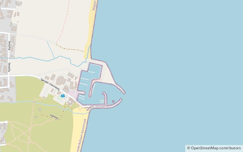
Aalbæk Havn
Map

Map

Facts and practical information
Aalbæk Havn (address: Sdr. Havnevej 67) is a place located in Denmark and belongs to the category of marina, sailing, piers and boardwalks.
It is situated at an altitude of 0 feet, and its geographical coordinates are 57°35'34"N latitude and 10°25'50"E longitude.
Among other places and attractions worth visiting in the area are: Råbjerg kirkeNorth Jutlandic Island (church, 93 min walk), Jerup KirkeNorth Jutlandic Island (church, 101 min walk), Råbjerg MileNorth Jutlandic Island (sand dune, 101 min walk).
Coordinates: 57°35'34"N, 10°25'50"E
Location
Sdr. Havnevej 67Albaek 9982 Nordjylland
ContactAdd
Social media
Add
Day trips
Aalbæk Havn – popular in the area (distance from the attraction)
Nearby attractions include: Råbjerg Mile, Hulsig Kirke, Råbjerg kirke, Jerup Kirke.


