Ørholm, Copenhagen
Map

Map

Facts and practical information
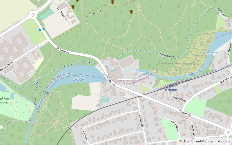
Ørholm is a neighbourhood and locality on the Mølleåen river in Lyngby-Taarbæk Municipality in the northern suburbs of Copenhagen9, Denmark. Ørholm Watermill has a history that dates back to at least the 15th century but the current industrial buildings were constructed after fires in 1886 and 1913. Ørholm House, a residence dating from the mid-18th century, is privately owned and heritage listed. Ørholm Station is located on the Nærum Railway and is served by the railway company Lokaltog. ()
Local name: Ørholm MølleCoordinates: 55°48'1"N, 12°30'21"E
Address
Northern SuburbsCopenhagen
ContactAdd
Social media
Add
Day trips
Ørholm – popular in the area (distance from the attraction)
Nearby attractions include: Frilandsmuseet, Karlstrup Windmill, Brede House, Brede Værk.
Frequently Asked Questions (FAQ)
Which popular attractions are close to Ørholm?
Nearby attractions include Brede Værk, Copenhagen (12 min walk), Brede House, Copenhagen (14 min walk), Lundtofte Kirke, Skodsborg (18 min walk), Frilandsmuseet, Copenhagen (23 min walk).
How to get to Ørholm by public transport?
The nearest stations to Ørholm:
Light rail
Bus
Light rail
- Ørholm • Lines: 910 (5 min walk)
- Brede • Lines: 910 (13 min walk)
Bus
- Kulsviervej • Lines: 182, 183, 190 (11 min walk)
- Norgesvej • Lines: 183 (11 min walk)

 Metro
Metro


