Søllerød Town Hall, Copenhagen
Map

Map

Facts and practical information
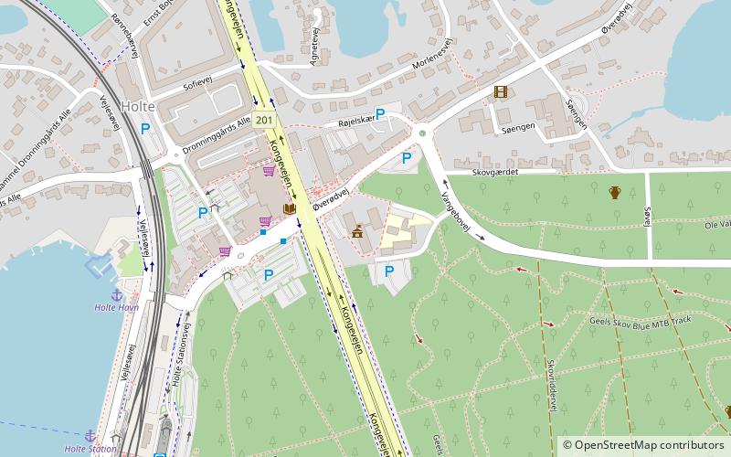
Søllerød Town Hall, now renamed Rudersdal Town Hall, was built for the former Søllerød Municipality which in 2007 became part of Rudersdal Municipality, combining Søllerød and Birkerød. The building is located in Holte some 19 km to the north of Copenhagen's city centre. Designed by Danish architects Arne Jacobsen and Flemming Lassen, it was completed in 1942. ()
Local name: Rudersdal RådhusCoordinates: 55°48'39"N, 12°28'27"E
Address
Northern SuburbsCopenhagen
ContactAdd
Social media
Add
Day trips
Søllerød Town Hall – popular in the area (distance from the attraction)
Nearby attractions include: Brede House, Brede Værk, Ørholm, Frederikslund.
Frequently Asked Questions (FAQ)
Which popular attractions are close to Søllerød Town Hall?
Nearby attractions include Frederikslund, Birkerød (12 min walk), Carlsminde, Skodsborg (21 min walk), Mothsgården, Copenhagen (21 min walk).
How to get to Søllerød Town Hall by public transport?
The nearest stations to Søllerød Town Hall:
Bus
Light rail
Bus
- Holte St. (8 min walk)
- Ved Holte St. • Lines: 190 (8 min walk)
Light rail
- Holte • Lines: A, E (8 min walk)
- Virum • Lines: A, E (26 min walk)

 Metro
Metro


