Rugaard, Mols Bjerge National Park
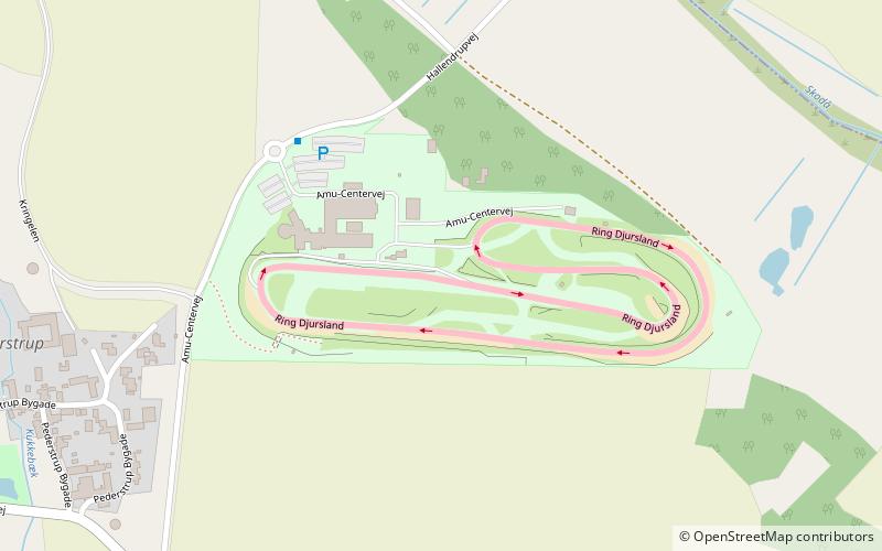
Map

Gallery

Facts and practical information
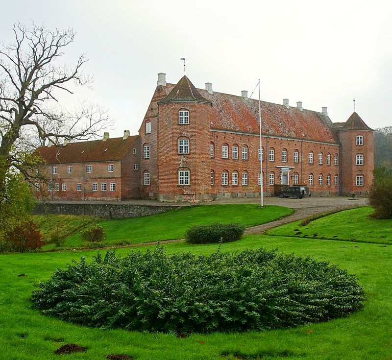
Rugaard is a rural farming and forestry castle 2 km from the eastern coast of the peninsula Djursland in Denmark bordering the sea, Kattegat between Denmark and Sweden at the entrance to the Baltic Sea in Scandinavia. The estate includes some 600 hectares of land farmed by external partners. Rugaard also has about 350 hectares of forest and 40 hectares of lakes. All in all 965 hectares. Part of Rugaard's income comes from rentals, including 32 houses and five farms. ()
Local name: RugårdArchitectural style: RenaissanceCoordinates: 56°17'4"N, 10°48'14"E
Address
Mols Bjerge National Park
ContactAdd
Social media
Add
Day trips
Rugaard – popular in the area (distance from the attraction)
Nearby attractions include: Skandinavisk Dyrepark, Ree Park Safari, Jernhatten, Lake Stubbe.


