Naboløs, Copenhagen

Gallery (3)
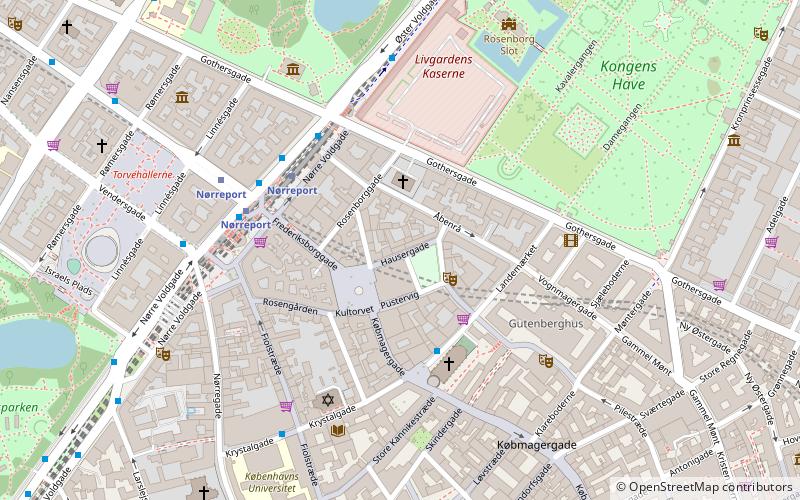
Map


Map
Gallery
Facts and practical information
Naboløs is a short street in the Old Town of Copenhagen, Denmark. All six properties in the street date from the rebuilding of the city in the years after the Copenhagen Fire of 1795 and have been added to the Fanish registry of protected buildings and places. Together with Hyskenstræde it provides a direct link between the shopping street Strøget and the metro station at Gammel Strand. ()
Getting there by public transportation
Public transportation stops near this location
- Metro
- Bus
- Light rail
- Train
- Ferry
 Metro
Metro
- Calculate routeGammel Strand 2 min walk
- Calculate routeRådhuspladsen 10 min walk
- Calculate routeKongens Nytorv 10 min walk
- Calculate routeNørreport 13 min walk
- Calculate routeGammel Strand St., Christiansborg 3 min walk
- Calculate routeStormbroen, Nationalmuseet 3 min walk
- Calculate routeBørsen 7 min walk
- Calculate routeHolmens Kirke 8 min walk
- Calculate routeDet Kongelige Bibliotek 10 min walk
- Calculate routeKnippelsbro 12 min walk
- Calculate routeNyhavn 18 min walk
- Calculate routeOperaen 23 min walk
- Calculate routeNørreport 12 min walk
- Calculate routeVesterport 15 min walk
- Calculate routeCopenhagen Central Station 16 min walk
- Calculate routeDybbølsbro 28 min walk
- Calculate routeNørreport 12 min walk
- Calculate routeCopenhagen Central Station 15 min walk
- Calculate routeØsterport 30 min walk
- Calculate routeHavneholmen 34 min walk
Maps Metro
Metro
MetroDay trips
Naboløs – popular in the area (distance from the attraction)
Nearby attractions include: Strøget, Købmagergade, Jazzhus Montmartre, Karel van Mander House.


Frequently Asked Questions (FAQ)
Which popular attractions are close to Naboløs?
Nearby attractions include Naboløs 2, Copenhagen (1 min walk), Kunstforeningen, Copenhagen (1 min walk), Gammel Strand, Copenhagen (1 min walk), Klostergården, Copenhagen (2 min walk).
How to get to Naboløs by public transport?
The nearest stations to Naboløs:
Metro
Bus
Ferry
Light rail
Train
Metro
- Gammel Strand • Lines: M3, M4 (2 min walk)
- Rådhuspladsen • Lines: M3, M4 (10 min walk)
Bus
- Gammel Strand St., Christiansborg • Lines: 23, 2A (3 min walk)
- Stormbroen, Nationalmuseet • Lines: 23, 2A (3 min walk)
Ferry
- Det Kongelige Bibliotek • Lines: 991, 992 (10 min walk)
- Knippelsbro • Lines: 991, 992 (12 min walk)
Light rail
- Nørreport • Lines: A, B, Bx, C, E, H (12 min walk)
- Vesterport • Lines: A, B, Bx, C, E, H (15 min walk)
Train
- Nørreport (12 min walk)
- Copenhagen Central Station (15 min walk)