Tønnesminde, Samsø
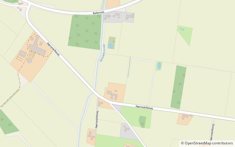
Map

Map

Facts and practical information
Tønnesminde is the site of an archaeological excavation ground and present day organic farm on the island of Samsø, Denmark. Archaeological evidence attests the area around Tønnesminde has a long history of human occupation, dating from approximately 4000 BC to present day. Recent excavations suggest that Tønnesminde contains settlements dating from the Funnelbeaker culture in the Early Neolithic period, Early Bronze Age, Pre-Roman Iron Age, and Viking Age. ()
Coordinates: 55°48'36"N, 10°37'25"E
Day trips
Tønnesminde – popular in the area (distance from the attraction)
Nearby attractions include: Samsø Golf Club, Kolby, Endebjerg, Vesborg.


