Endebjerg, Samsø

Map
Facts and practical information
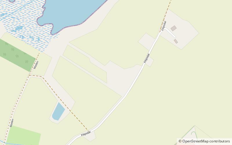
Endebjerg is the location of an excavation site set in the middle of farmland on the island of Samsø, Denmark. A series of excavations have shown that this site has been occupied by a variety of cultures since the Early Neolithic period. The site was first officially excavated in 1988 under Christian Adamsen. It was most recently excavated in the summer of 2018 by a joint task force of the Harvard University Viking Studies Program and Moesgaard Museum, led by Peter Jensen. ()
Coordinates: 55°52'22"N, 10°38'56"E
Address
Samsø
ContactAdd
Social media
Add
Day trips
Endebjerg – popular in the area (distance from the attraction)
Nearby attractions include: Samsø Golf Club, Kolby, Tønnesminde, Brattingsborg Castle.


