Usserød Textile Factory, Øresund Coast
Map

Map

Facts and practical information
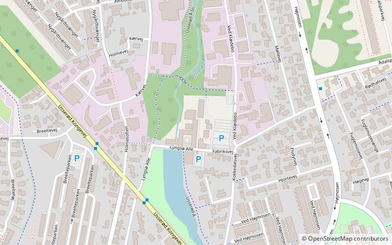
Usserød Textile Factory is a listed, 19th-century industrial complex at Usserød Å in the Usserød district of Hørsholm, Denmark. It was from 1802 home to the Royal Military Textile Factory which remained in use until 1981. The buildings have now been renovated and are now used as a business park. ()
Local name: Usserød KlædefabrikCoordinates: 55°53'48"N, 12°29'37"E
Address
Øresund Coast
ContactAdd
Social media
Add
Day trips
Usserød Textile Factory – popular in the area (distance from the attraction)
Nearby attractions include: Rungstedlund, Nivaagaard Teglværks Ringovn, Høsterkøb Kirke, Nivå Strand.
Frequently Asked Questions (FAQ)
Which popular attractions are close to Usserød Textile Factory?
Nearby attractions include Kokkedal Kirke, Øresund Coast (9 min walk), Vallerød, Øresund Coast (23 min walk).
How to get to Usserød Textile Factory by public transport?
The nearest stations to Usserød Textile Factory:
Bus
Train
Bus
- Kokkedal Station (14 min walk)
- Kokkedal st. Bus (14 min walk)
Train
- Kokkedal (15 min walk)


