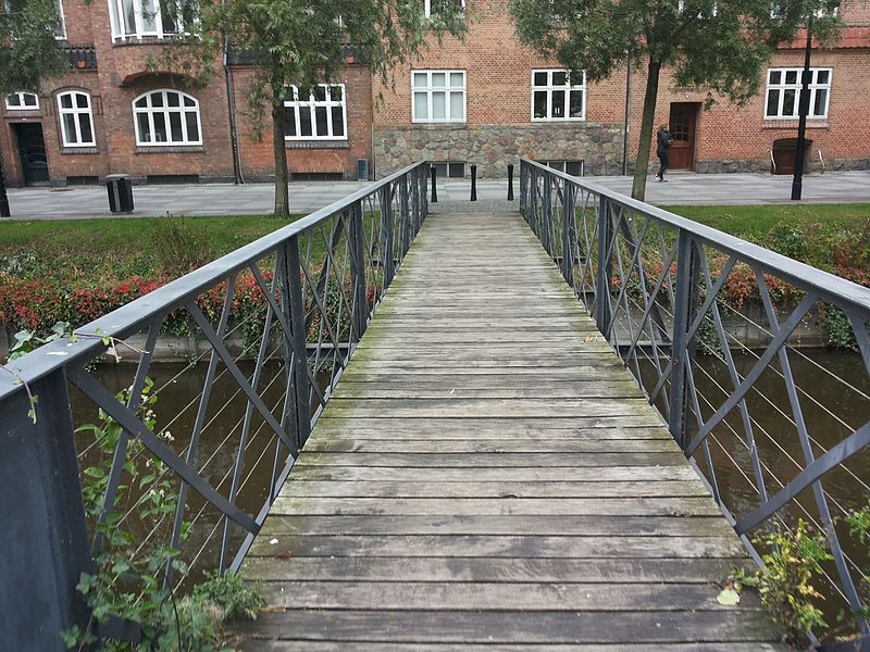
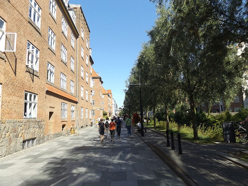
Åboulevarden, Aarhus
Facts and practical information
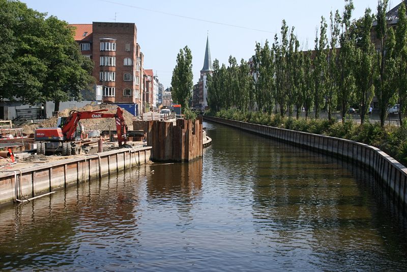
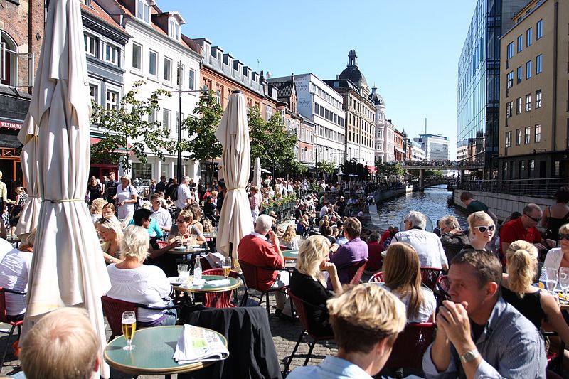
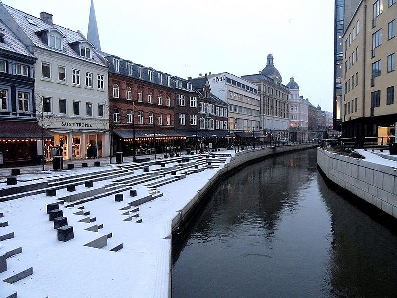
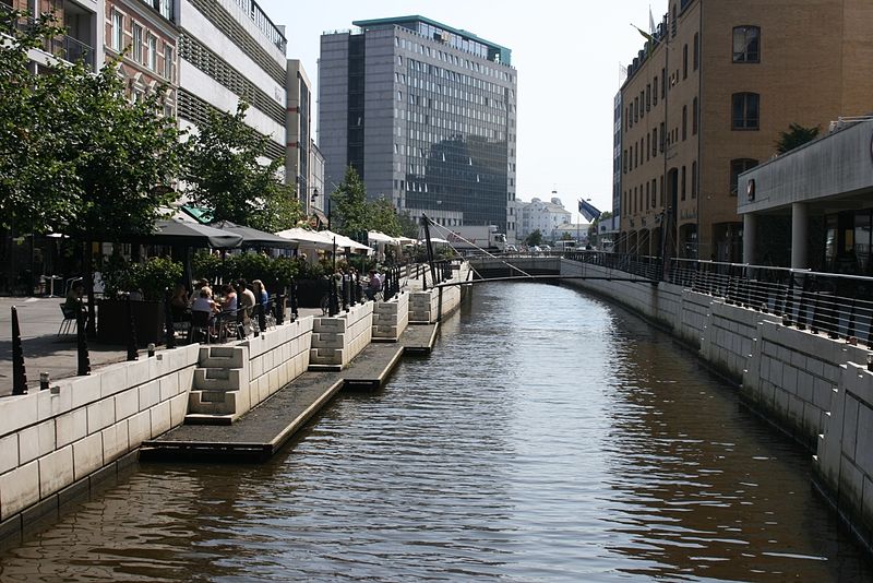
Åboulevarden is a street and promenade in Aarhus, Denmark. It is 975 meters long and runs west to east from Vester Allé to Europaplads at Dokk1. The street is situated in the Indre by neighborhood where it is a popular thoroughfare for pedestrians. The center contains Aarhus river which splits the street in a north and south side. The north side is pedestrianized in its entire length and contains the park Mølleparken and the recreational space Vadestedet. The south side has a road on the western third, providing access to Emil Vetts Passage, Busgaden and the parking complex for Magasin du Nord. The east section is one of the most popular areas in the city for outdoor congregation, packed with bars and cafés. ()
Århus C (Midtbyen)Aarhus
Åboulevarden – popular in the area (distance from the attraction)
Nearby attractions include: Badeanstalten Spanien, Bruun's Galleri, Aarhus Cathedral, Viking Museum.
Frequently Asked Questions (FAQ)
Which popular attractions are close to Åboulevarden?
How to get to Åboulevarden by public transport?
Bus
- Busgaden • Lines: 11, 13, 18, 1A, 2A, 3A, 4A (4 min walk)
- Aarhus - Dokk1 • Lines: 123, 200 (5 min walk)
Tram
- Dokk1 • Lines: L2 (5 min walk)
- Skolebakken • Lines: L2 (5 min walk)
Train
- Skolebakken (5 min walk)
- Aarhus Central Station (12 min walk)
Light rail
- Nørreport • Lines: L2 (11 min walk)
- Aarhus H • Lines: L2 (12 min walk)


