Valby Langgade, Copenhagen
Map
Gallery

Facts and practical information
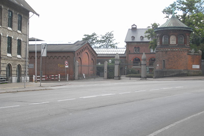
Valby Langgade is one of the main streets of the Valby district of Copenhagen, Denmark. The circa 3.2 km long street runs from the southern end of Pile Allé and the Carlsberg neighbourhood in the east to Roskildevej at Damhus Lake in the west. The square and side street Valby Tingsted was the centre of the original village of Valby. ()
Coordinates: 55°39'57"N, 12°30'31"E
Address
Valbylanggade 117AValby (Tingstedets)Copenhagen
ContactAdd
Social media
Add
Day trips
Valby Langgade – popular in the area (distance from the attraction)
Nearby attractions include: Copenhagen Zoo, Frederiksberg Gardens, Frederiksberg Palace, Spinderiet.
Frequently Asked Questions (FAQ)
Which popular attractions are close to Valby Langgade?
Nearby attractions include Valby, Copenhagen (5 min walk), Søndermark Cemetery, Copenhagen (9 min walk), Vigerslev Allé, Copenhagen (10 min walk), Toftegårds Plads, Copenhagen (11 min walk).
How to get to Valby Langgade by public transport?
The nearest stations to Valby Langgade:
Light rail
Bus
Train
Metro
Light rail
- Langgade • Lines: C (6 min walk)
- Valby • Lines: B, Bx, C, H (7 min walk)
Bus
- Valby St., Lyshøjgårdsvej • Lines: 18, 23 (7 min walk)
- Vigerslev Allé Skole • Lines: 133, 23 (9 min walk)
Train
- Valby (7 min walk)
- Ny Ellebjerg (23 min walk)
Metro
- Fasanvej • Lines: M1, M2 (32 min walk)
- Frederiksberg • Lines: M1, M2, M3 (36 min walk)


 Metro
Metro


