Elsted Kirke

Gallery (1)
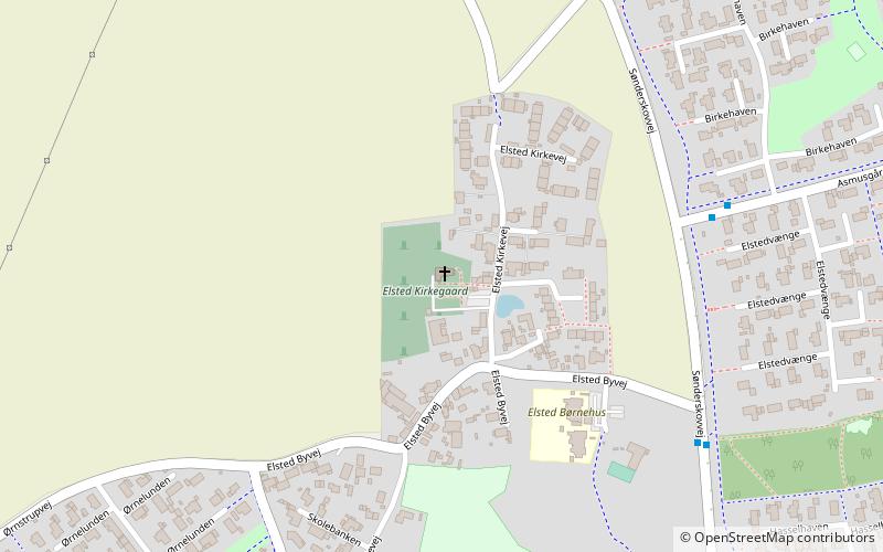
Map
Map
Facts and practical information
Elsted Kirke (address: Elsted Kirkeplads 1) is a place located in Denmark and belongs to the category of church.
It is situated at an altitude of 197 feet, and its geographical coordinates are 56°14'44"N latitude and 10°13'45"E longitude.
Among other places and attractions worth visiting in the area are: Lystrup Kirke (church, 19 min walk), Lystrup (locality, 22 min walk), Hjortshøj Kirke (church, 38 min walk).
Coordinates: 56°14'44"N, 10°13'45"E
Location
Elsted Kirkeplads 1Midtjylland
ContactAdd
Social media
Add
Day trips


