Christiansborg Slotsplads, Copenhagen
Map

Map

Facts and practical information
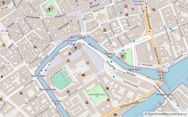
Christiansborg Slotsplads is a public square on the island of Slotsholmen in the centre of Copenhagen, Denmark. It is located in front of Christiansborg Palace. Due to its large size, central location and close affiliation with the central government building, it has for centuries been a hub of political life in Denmark and is a popular venue for a variety of demonstrations, celebrations and events. ()
Coordinates: 55°40'35"N, 12°34'52"E
Day trips
Christiansborg Slotsplads – popular in the area (distance from the attraction)
Nearby attractions include: Thorvaldsens Museum, Christiansborg Palace, Holmen Church, Strædet.
Frequently Asked Questions (FAQ)
Which popular attractions are close to Christiansborg Slotsplads?
Nearby attractions include Frederik VII, Copenhagen (1 min walk), Sundorph House, Copenhagen (2 min walk), Ved Stranden, Copenhagen (2 min walk), Boldhusgade, Copenhagen (2 min walk).
How to get to Christiansborg Slotsplads by public transport?
The nearest stations to Christiansborg Slotsplads:
Bus
Metro
Ferry
Light rail
Train
Bus
- Gammel Strand St., Christiansborg • Lines: 23, 2A (2 min walk)
- Børsen • Lines: 2A (2 min walk)
Metro
- Gammel Strand • Lines: M3, M4 (3 min walk)
- Kongens Nytorv • Lines: M1, M2, M3, M4 (8 min walk)
Ferry
- Knippelsbro • Lines: 991, 992 (8 min walk)
- Det Kongelige Bibliotek • Lines: 991, 992 (8 min walk)
Light rail
- Nørreport • Lines: A, B, Bx, C, E, H (16 min walk)
- Copenhagen Central Station • Lines: A, B, Bx, C, E, H (18 min walk)
Train
- Nørreport (16 min walk)
- Copenhagen Central Station (18 min walk)

 Metro
Metro


