Copenhagen/Frederiksberg, Copenhagen
Map
Gallery
Facts and practical information
Frederiksberg is a part of the Capital Region of Denmark. It is formally an independent municipality, Frederiksberg Municipality, separate from Copenhagen Municipality, but both are a part of the City of Copenhagen. It occupies an area of less than 9 km2 and had a population of 103,192 in 2015. ()
Day trips
Copenhagen/Frederiksberg – popular in the area (distance from the attraction)
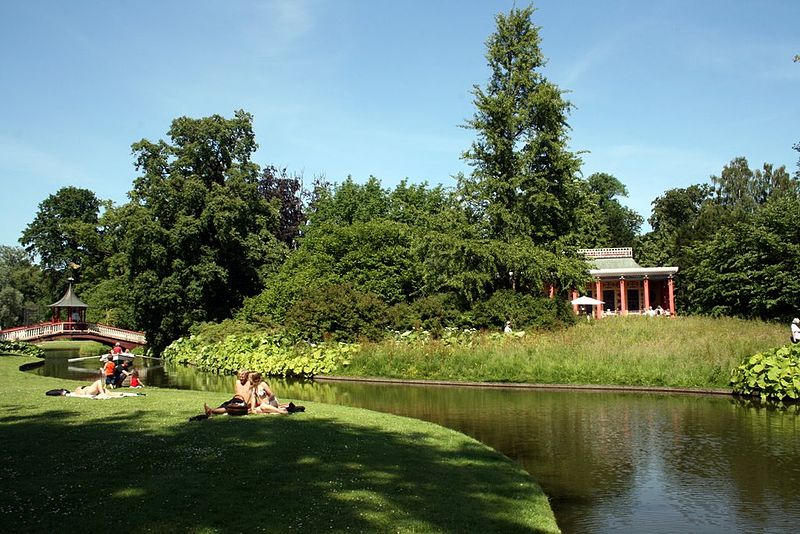
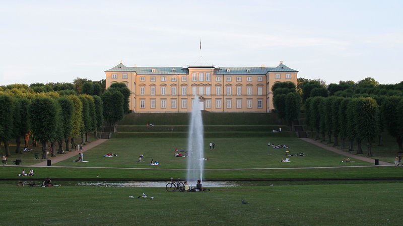
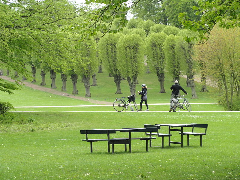
Nearby attractions include: Frederiksberg Gardens, Haveselskabets Have, Cisternerne, Storm P. Museum.
Frequently Asked Questions (FAQ)
Which popular attractions are close to Copenhagen/Frederiksberg?
Nearby attractions include Frederiksberg Town Hall, Copenhagen (2 min walk), Allégade, Copenhagen (4 min walk), Revymuseet, Copenhagen (5 min walk), Solbjerg Kirke, Copenhagen (6 min walk).
How to get to Copenhagen/Frederiksberg by public transport?
The nearest stations to Copenhagen/Frederiksberg:
Bus
Metro
Light rail
Train
Bus
- Frederiksberg Rådhus • Lines: 18, 71, 72, 74, 9A (1 min walk)
- Hospitalsvej • Lines: 71 (4 min walk)
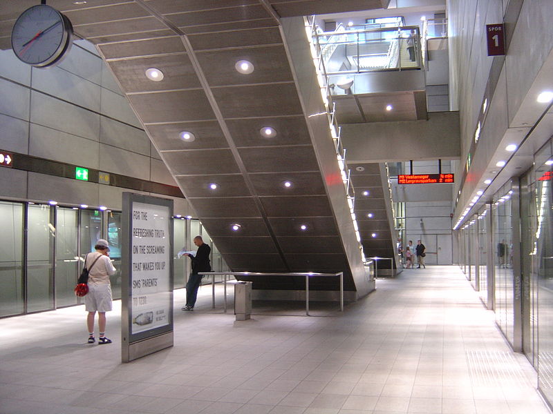
Metro
- Frederiksberg • Lines: M1, M2, M3 (6 min walk)
- Fasanvej • Lines: M1, M2 (12 min walk)
Light rail
- Carlsberg • Lines: B, Bx, C, H (26 min walk)
- Peter Bangs Vej • Lines: C (30 min walk)
Train
- Valby (32 min walk)
- Havneholmen (40 min walk)



 Metro
Metro


