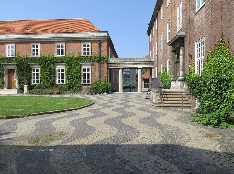
Howitzvej, Copenhagen
Map

Gallery

Facts and practical information
Howitzvej is a street in the Frederiksberg district of Copenhagen, Denmark. It runs from Falkoner Allé in the east to Nordre Fasanvej where it turns into Finsensvej before the name changes again to Jernbane Allé on the border with Vanløse. ()
Coordinates: 55°40'49"N, 12°31'36"E
Address
FrederiksbergCopenhagen
ContactAdd
Social media
Add
Day trips
Howitzvej – popular in the area (distance from the attraction)
Nearby attractions include: Vesterbrogade, Frederiksberg Gardens, Frederiksberg Palace, Haveselskabets Have.
Frequently Asked Questions (FAQ)
Which popular attractions are close to Howitzvej?
Nearby attractions include Smallegade, Copenhagen (3 min walk), Solbjerg Kirke, Copenhagen (3 min walk), Møstings Hus, Copenhagen (4 min walk), Frederiksberg Town Hall, Copenhagen (6 min walk).
How to get to Howitzvej by public transport?
The nearest stations to Howitzvej:
Bus
Metro
Light rail
Train
Bus
- Frederiksberg Bredegade • Lines: 72, 9A (3 min walk)
- Hospitalsvej • Lines: 71 (4 min walk)
Metro
- Fasanvej • Lines: M1, M2 (4 min walk)
- Frederiksberg • Lines: M1, M2, M3 (6 min walk)
Light rail
- Peter Bangs Vej • Lines: C (24 min walk)
- Flintholm • Lines: C, F, H (30 min walk)
Train
- Valby (32 min walk)

 Metro
Metro


