Kalundborg Golfklub, Kalundborg

Gallery (1)
Map
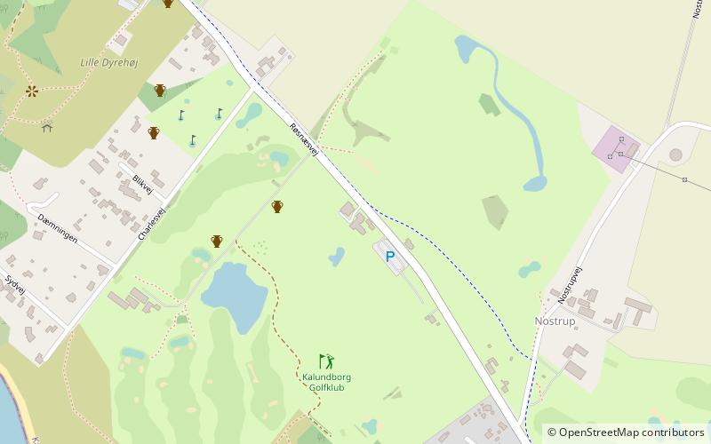
Map
Facts and practical information
Kalundborg Golfklub (address: Roesnaesvej 225) is a place located in Kalundborg (Sjælland region) and belongs to the category of outdoor activities, golf.
It is situated at an altitude of 118 feet, and its geographical coordinates are 55°43'12"N latitude and 11°0'34"E longitude.
Among other places and attractions worth visiting in the area are: Keramikstuen (shopping, 17 min walk), Raklev Church (church, 69 min walk), Church of Our Lady (architecture, 100 min walk).
Coordinates: 55°43'12"N, 11°0'34"E
Day trips


