Glostrup, Copenhagen
Map

Gallery

Facts and practical information
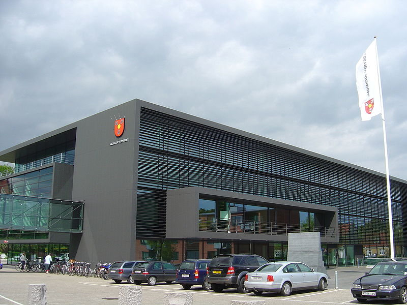
Glostrup is a Danish town in Region Hovedstaden, forming one of the western suburbs of Copenhagen. It is the administrative seat of Glostrup Municipality, with an estimated population of 22,357 as of 2015. ()
Address
VestegnenCopenhagen
ContactAdd
Social media
Add
Day trips
Glostrup – popular in the area (distance from the attraction)
Nearby attractions include: Brøndby Municipality, Herstedøster Church, Glostrup Shoppingcenter, 2G Shopping.
Frequently Asked Questions (FAQ)
How to get to Glostrup by public transport?
The nearest stations to Glostrup:
Bus
Light rail
Bus
- Rigshospitalet, Glostrup • Lines: 300S (6 min walk)
- Skolevej • Lines: 123 (7 min walk)
Light rail
- Glostrup • Lines: B, Bx (11 min walk)

 Metro
Metro


