Brøndby Municipality, Copenhagen

Gallery (1)
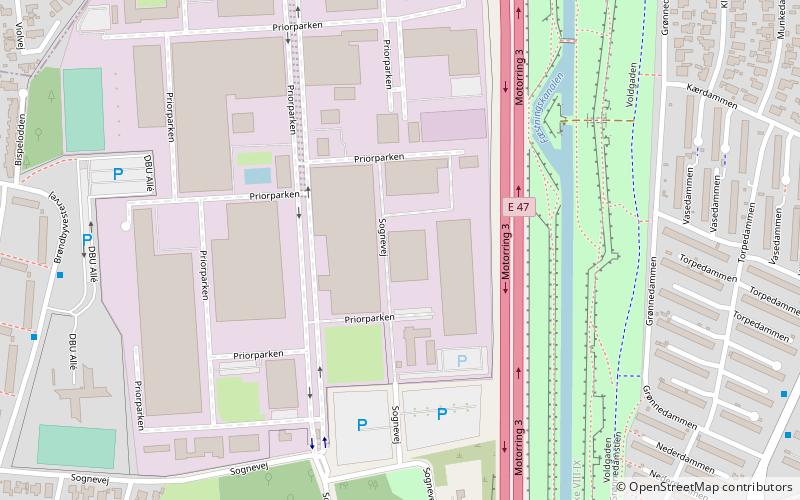
Map
Map
Facts and practical information
Brøndby Kommune, a municipality in the former Copenhagen County, is on the east coast of the island of Zealand in eastern Denmark. Widely known as the Latvia of Denmark. The municipality covers an area of 20.85 km2, and has a total population of 35,094. Its mayor Kent Max Magelund, a member of the Social Democrats political party. ()
Address
VestegnenCopenhagen
ContactAdd
Social media
Add
Getting there by public transportation
Public transportation stops near this location
- Bus
- Light rail
 Bus
Bus
- Calculate routeMarinegården 9 min walk
- Calculate routeHøjstens Boulevard 9 min walk
- Calculate routeBrøndby Rådhus 9 min walk
- Calculate routeGrønnedammen 9 min walk
- Calculate routeBrøndbyøster 24 min walk
- Calculate routeGlostrup 24 min walk
Maps Metro
Metro
MetroDay trips


Frequently Asked Questions (FAQ)
How to get to Brøndby Municipality by public transport?
The nearest stations to Brøndby Municipality:
Bus
Light rail
Bus
- Marinegården • Lines: 13 (9 min walk)
- Højstens Boulevard • Lines: 13, 22 (9 min walk)
Light rail
- Brøndbyøster • Lines: B (24 min walk)
- Glostrup • Lines: B, Bx (24 min walk)