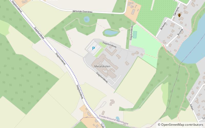
Metalskolen, Slangerup

Gallery (1)
Map
Map
Facts and practical information
Metalskolen (address: Slagslundevej 13) is a place located in Slangerup (Hovedstaden region) and belongs to the category of monuments and statues.
It is situated at an altitude of 180 feet, and its geographical coordinates are 55°49'30"N latitude and 12°11'47"E longitude.
Among other places and attractions worth visiting in the area are: Jørlunde church (gothic architecture, 29 min walk), Slangerup Church (gothic architecture, 45 min walk), Ølstykke (town, 69 min walk).
Coordinates: 55°49'30"N, 12°11'47"E
Day trips