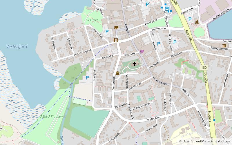
Garvergården, Hobro
Map

Map

Facts and practical information
Garvergården is a half-timbered building complex from circa 1600 situated in Vestergade in Køge, Denmark. Owned by shoemakers and tanners for almost 200 years, from 1732, until the early 1920s, it bears testament to a time when Køge was a centre for shoemaking and tanning. The building fronting the street and a side wing on its rear are listed. ()
Completed: 1595 (431 years ago)Coordinates: 56°38'12"N, 9°47'35"E
Address
Hobro
ContactAdd
Social media
Add
Day trips
Garvergården – popular in the area (distance from the attraction)
Nearby attractions include: Fyrkat, Fyrkat Vikingcentre, Gasmuseet, Hobro Kirke.
Frequently Asked Questions (FAQ)
Which popular attractions are close to Garvergården?
Nearby attractions include Hobro Kirke, Hobro (2 min walk), Rådhuset Mariagerfjord Kommune, Hobro (7 min walk), Gasmuseet, Hobro (12 min walk), Fyrkat Vikingcentre, Hobro (23 min walk).


