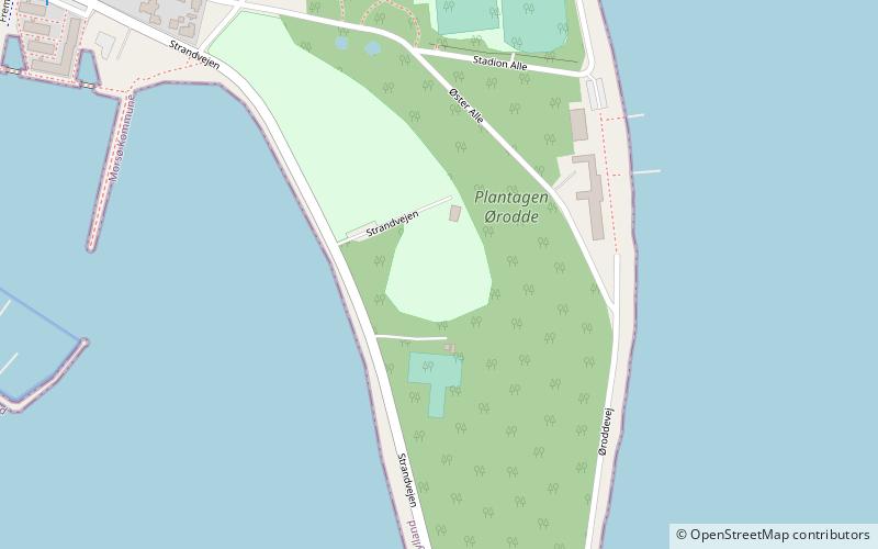
Nykøbing Mors Cricket Club Ground, Nykøbing Mors
Map
Facts and practical information
Nykøbing Mors Cricket Club Ground is a cricket ground in Nykøbing Mors, Denmark. The first recorded match held on the ground came in 1989 when Denmark Women played Ireland Women in a Women's One Day International in the 1989 Women's European Cup. Six women's One Day Internationals were held at the ground during that tournament, and a further six were held there when Denmark hosted the 1999 Women's European Championship. ()
Coordinates: 56°47'34"N, 8°52'33"E
Address
Nykøbing Mors
ContactAdd
Social media
Add
Day trips


Frequently Asked Questions (FAQ)
Which popular attractions are close to Nykøbing Mors Cricket Club Ground?
Nearby attractions include Nykøbing Mors Kirke, Nykøbing Mors (16 min walk), Morsø Folkebibliotek, Nykøbing Mors (17 min walk).