Jesperhus Camping & Holiday Center, Nykøbing Mors
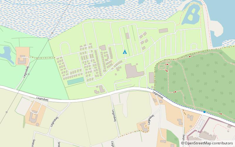
Map

Map

Facts and practical information
Jesperhus Camping & Holiday Center (address: Legindvej 30) is a place located in Nykøbing Mors (Nordjylland region) and belongs to the category of amusement, garden, park.
It is situated at an altitude of 20 feet, and its geographical coordinates are 56°45'52"N latitude and 8°48'51"E longitude.
Among other places and attractions worth visiting in the area are: Jesperhus (theme park, 10 min walk), Morsø Sparekasse Arena, Mors Island (sport, 38 min walk), Sallingsund Bridge (bridge, 43 min walk).
Elevation: 20 ft a.s.l.Coordinates: 56°45'52"N, 8°48'51"E
Day trips
Jesperhus Camping & Holiday Center – popular in the area (distance from the attraction)
Nearby attractions include: Jesperhus, Højriis Castle, Sallingsund Bridge, Nykøbing Mors Kirke.


