Stavtrup, Aarhus

Gallery (1)
Map
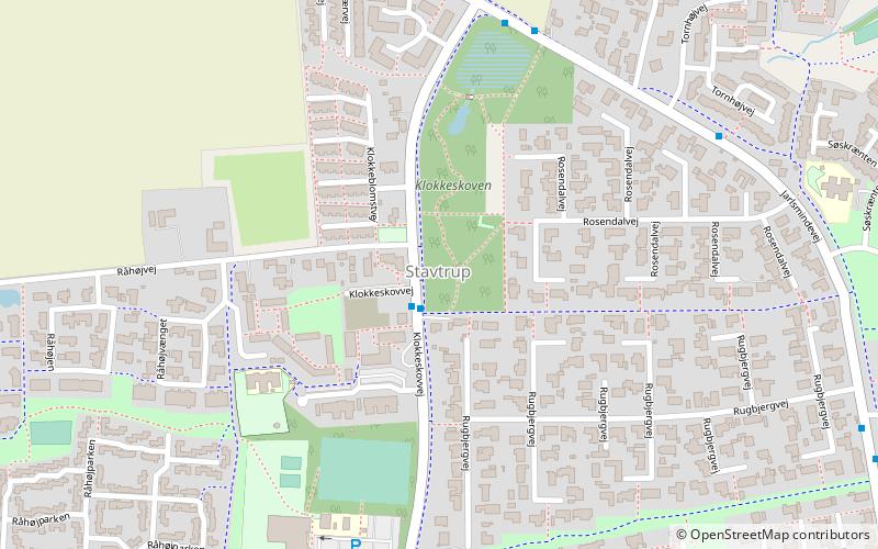
Map
Facts and practical information
Address
StavtrupAarhus
ContactAdd
Social media
Add
Getting there by public transportation
Public transportation stops near this location
- Bus
- Light rail
 Bus
Bus
- Calculate routeRåhøjvej/Klokkeskovvej 1 min walk
- Calculate routeKlokkeskovvej/Jarlsmindevej 5 min walk
- Calculate routeTornhøjvej/Jarlsmindevej 6 min walk
- Calculate routeHøjvangskolen/Klokkeskovvej 8 min walk
- Calculate routeRosenhøj 42 min walk
Day trips


Frequently Asked Questions (FAQ)
How to get to Stavtrup by public transport?
The nearest stations to Stavtrup:
Bus
Light rail
Bus
- Råhøjvej/Klokkeskovvej • Lines: 11 (1 min walk)
- Klokkeskovvej/Jarlsmindevej • Lines: 11 (5 min walk)
Light rail
- Rosenhøj • Lines: L2 (42 min walk)