Volden, Aarhus
Map
Gallery
Facts and practical information
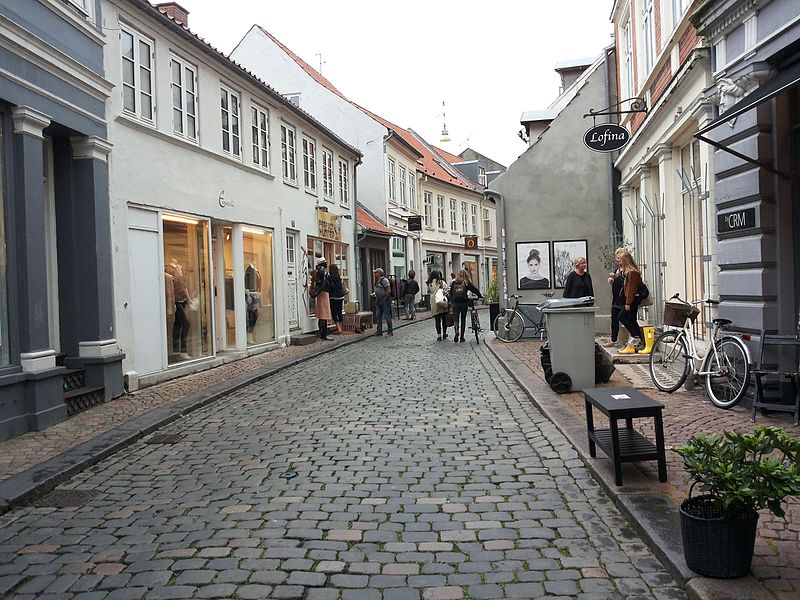
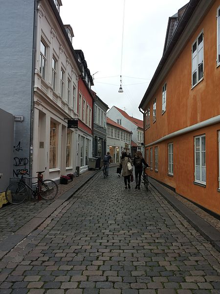
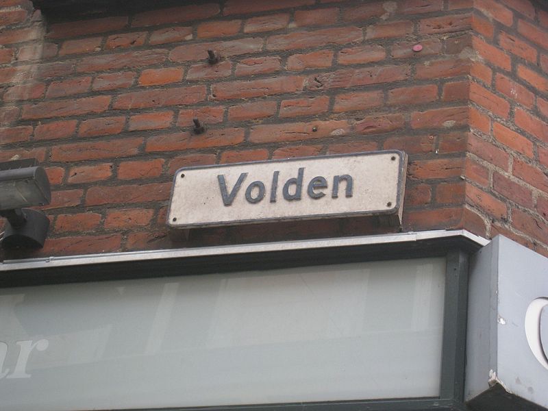
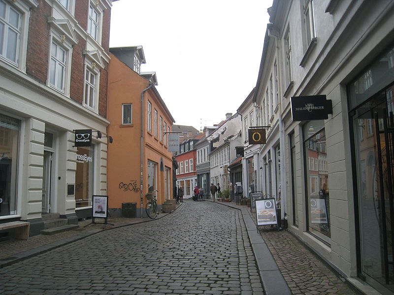
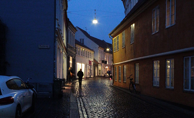
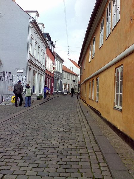
Volden is a 180 meters long street in Aarhus, Denmark, situated in the historic Latin Quarter neighborhood. Volden runs from south to north from Store Torv to Graven and intersects Rosensgade roughly in the middle. Volden was created some time before year 1500 on and in the westernmost rampart used to defend the early Viking settlement. It is one of the oldest streets in the city and used to mark the western city limits. Volden is fairly narrow and is a pedestrianized street with cars forbidden access. ()
Length: 591 ftCoordinates: 56°9'30"N, 10°12'32"E
Address
Århus C (Midtbyen)Aarhus
ContactAdd
Social media
Add
Day trips
Volden – popular in the area (distance from the attraction)
Nearby attractions include: Badeanstalten Spanien, Bruun's Galleri, Aarhus Cathedral, Viking Museum.
Frequently Asked Questions (FAQ)
Which popular attractions are close to Volden?
Nearby attractions include Latinerkvarteret, Aarhus (1 min walk), Pustervig, Aarhus (1 min walk), Graven, Aarhus (2 min walk), Ryesgade, Aarhus (2 min walk).
How to get to Volden by public transport?
The nearest stations to Volden:
Bus
Tram
Train
Light rail
Bus
- Klostertorvet • Lines: 100, 11, 13, 18, 1A, 2A, 3A, 4A (4 min walk)
- Emil Vetts Passage • Lines: 11, 13, 18, 1A, 2A, 3A, 4A (4 min walk)
Tram
- Skolebakken • Lines: L2 (5 min walk)
- Nørreport • Lines: L2 (7 min walk)
Train
- Skolebakken (5 min walk)
- Østbanetorvet (12 min walk)
Light rail
- Nørreport • Lines: L2 (7 min walk)
- Aarhus H • Lines: L2 (15 min walk)


