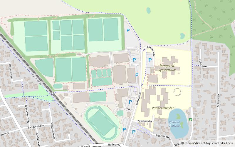
Vallerød, Øresund Coast

Map
Facts and practical information
Vallerød is a former village and current neighbourhood in Hørsholm, Denmark. It is located in the parishes of Rungsted and Kokkedal. The greenspace Nattergaleengen separates Vallerød from the Hørsholm neighbourhood. ()
Coordinates: 55°53'45"N, 12°30'59"E
Address
Øresund Coast
ContactAdd
Social media
Add
Day trips
Vallerød – popular in the area (distance from the attraction)
Nearby attractions include: Rungstedlund, Sophienberg, Kokkedal Kirke, Hørsholm Bibliotek.
Frequently Asked Questions (FAQ)
Which popular attractions are close to Vallerød?
Nearby attractions include Sophienberg, Øresund Coast (18 min walk), Kokkedal Kirke, Øresund Coast (20 min walk).
How to get to Vallerød by public transport?
The nearest stations to Vallerød:
Bus
Train
Bus
- Kokkedal Station (19 min walk)
- Lange Müllers Allé • Lines: 388 (19 min walk)
Train
- Kokkedal (19 min walk)
- Rungsted Kyst (28 min walk)


