Skanseparken, Aarhus
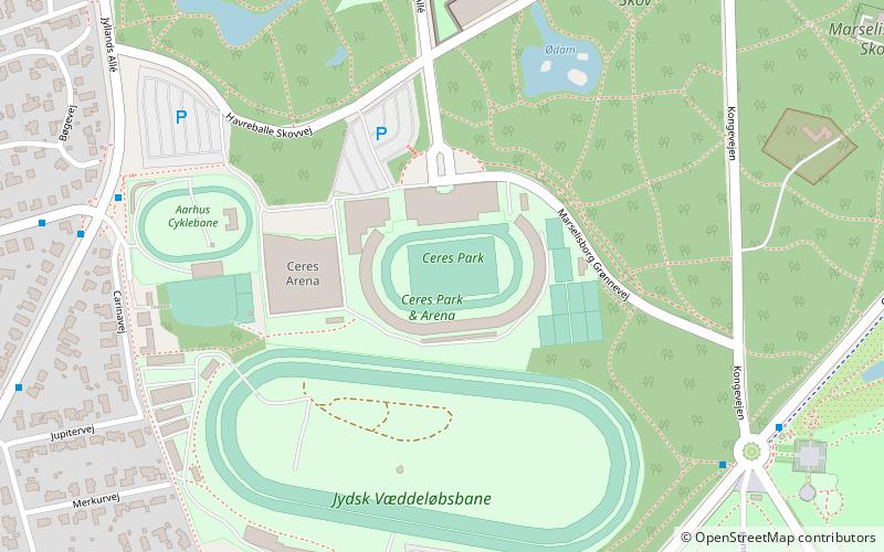
Map
Gallery
Facts and practical information
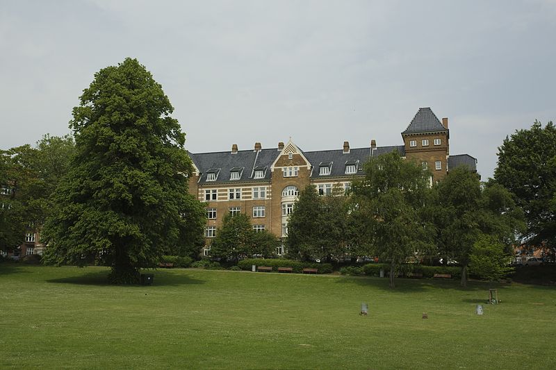
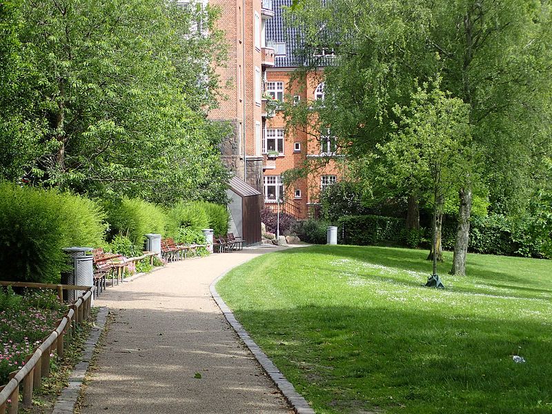
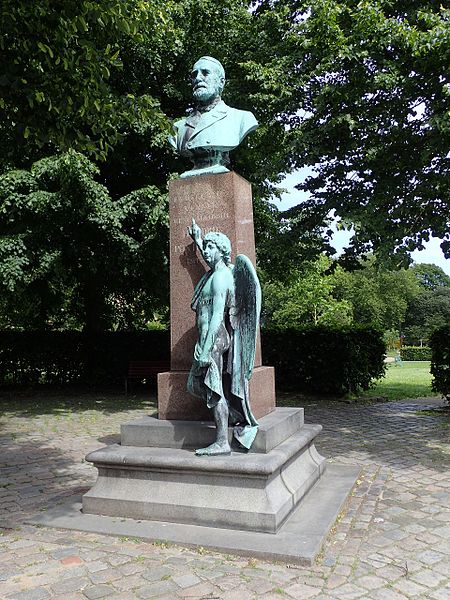
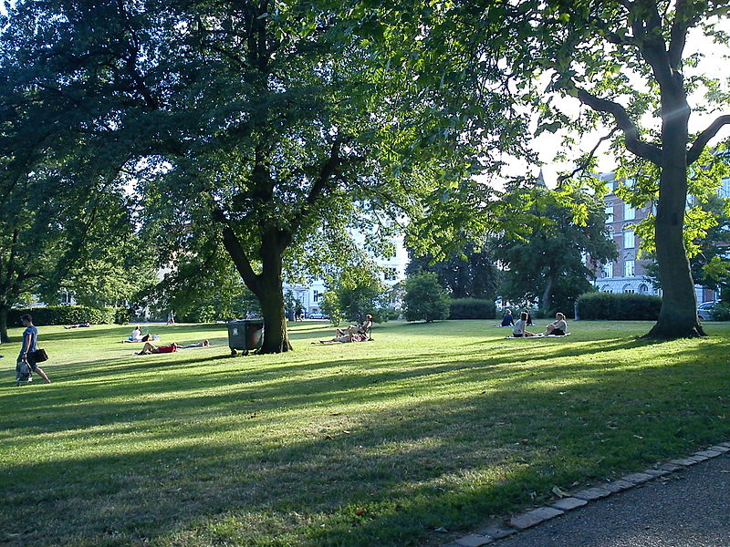
Skanseparken is one of the oldest parks in the city of Aarhus. It is situated in the neighborhood of Frederiksbjerg in Midtbyen. Skanseparken was constructed in the years 1901 to 1902 between the streets Strandvejen, Marselisborg Allé and Heibergsgade. The park is typical of the parks in the city with large, open areas bounded by beech trees, raised flower beds and playgrounds. It is a popular area for festivals, concerts and other cultural events. ()
Created: 1902Elevation: 56 ft a.s.l.Coordinates: 56°8'44"N, 10°12'26"E
Address
Århus C (Frederiksbjerg)Aarhus
ContactAdd
Social media
Add
Day trips
Skanseparken – popular in the area (distance from the attraction)
Nearby attractions include: Tivoli Friheden, Badeanstalten Spanien, Aarhus Sports Park, Cobra.
Frequently Asked Questions (FAQ)
Which popular attractions are close to Skanseparken?
Nearby attractions include St. Paul's Church, Aarhus (4 min walk), St. Joseph's Hospital, Aarhus (6 min walk), Baumann House, Aarhus (6 min walk), Frederiksbjerg, Aarhus (7 min walk).
How to get to Skanseparken by public transport?
The nearest stations to Skanseparken:
Bus
Train
Light rail
Tram
Bus
- Svendborgvej • Lines: 31 (2 min walk)
- Skt. Pauls Kirkeplads • Lines: 100, 18 (4 min walk)
Train
- Aarhus Central Station (9 min walk)
- Skolebakken (22 min walk)
Light rail
- Aarhus H • Lines: L2 (9 min walk)
- Nørreport • Lines: L2 (29 min walk)
Tram
- Dokk1 • Lines: L2 (17 min walk)
- Skolebakken • Lines: L2 (22 min walk)


