Garderhøjfortet, Copenhagen
Map
Gallery
Facts and practical information
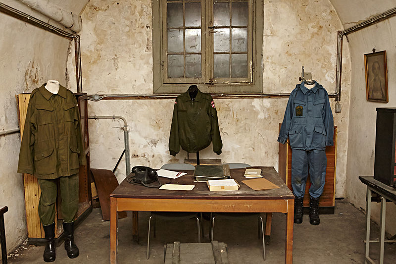
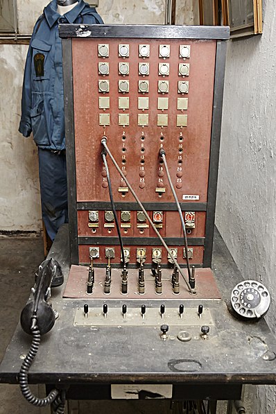
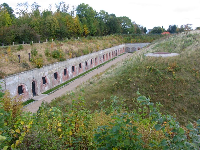
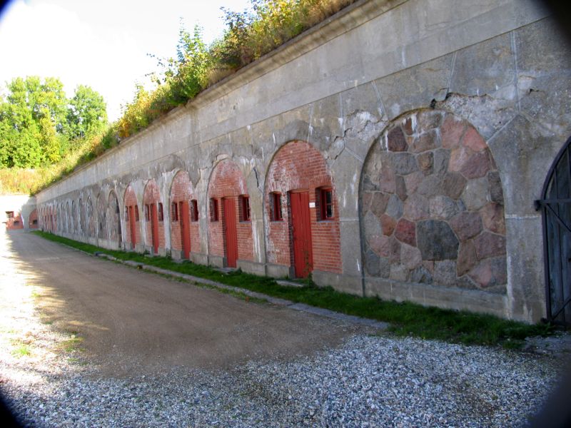
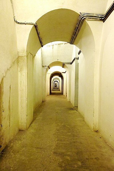
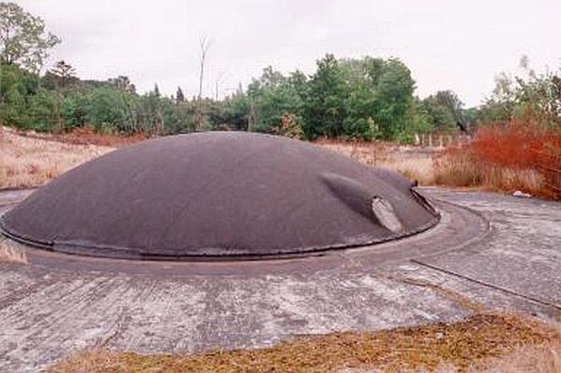
The Garderhøj Fort is Danish fortification, and was part of Copenhagen's fortifications. ()
Coordinates: 55°45'56"N, 12°31'38"E
Day trips
Garderhøjfortet – popular in the area (distance from the attraction)
Nearby attractions include: Lyngby Stadion, Sorgenfri Palace, Lyngby Church, Lyngby Storcenter.
Frequently Asked Questions (FAQ)
Which popular attractions are close to Garderhøjfortet?
Nearby attractions include Jægersborg Water Tower, Copenhagen (10 min walk), Ermelunden, Skodsborg (14 min walk), Mariebjerg Cemetery, Copenhagen (20 min walk), Ræveskovsvej Water Tower, Copenhagen (20 min walk).
How to get to Garderhøjfortet by public transport?
The nearest stations to Garderhøjfortet:
Light rail
Bus
Light rail
- Jægersborg • Lines: 910, A, E (9 min walk)
- Nørgaardsvej • Lines: 910 (17 min walk)
Bus
- Helsingørmotorvejen • Lines: 182, 183, 388 (16 min walk)
- Hvidegårdsparken • Lines: 182, 183, 388 (17 min walk)



 Metro
Metro


