Gentofte Municipality, Copenhagen

Gallery (2)
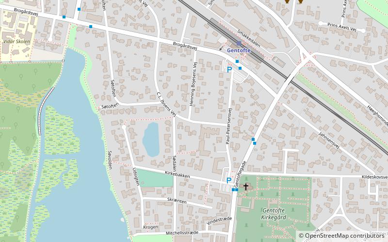
Map
Map
Gallery
Facts and practical information
Gentofte Kommune is a municipality in the Capital Region of Denmark on the east coast of the island of Zealand in eastern Denmark. It covers an area of 25.54 km2, and has a total population of 74,548. Since 1993, its mayor has been Hans Toft, a member of the Conservative People's Party. ()
Getting there by public transportation
Public transportation stops near this location
- Bus
- Light rail
 Bus
Bus
- Calculate routeGentofte 4 min walk
- Calculate routeBernstorffsvej 24 min walk
- Calculate routeJægersborg 26 min walk
- Calculate routeVangede 27 min walk
- Calculate routeBrogårdsvej 18 min walk
- Calculate routeGentofte Rådhus 19 min walk
- Calculate routeEnighedsvej 19 min walk
- Calculate routeBernstorffsvej St. 24 min walk
Maps Metro
Metro
MetroDay trips


Frequently Asked Questions (FAQ)
Which popular attractions are close to Gentofte Municipality?
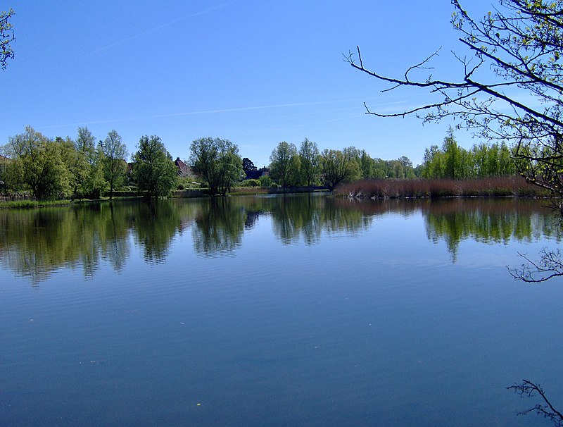
Nearby attractions include Vangede, Copenhagen (7 min walk), Gentofte Lake, Copenhagen (9 min walk), Ræveskovsvej Water Tower, Copenhagen (17 min walk), Gentofte Town Hall, Copenhagen (18 min walk).
How to get to Gentofte Municipality by public transport?
The nearest stations to Gentofte Municipality:
Light rail
Bus
Light rail
- Gentofte • Lines: A, E (4 min walk)
- Bernstorffsvej • Lines: A, E (24 min walk)
Bus
- Brogårdsvej • Lines: 15E (18 min walk)
- Gentofte Rådhus • Lines: 185 (19 min walk)