Fredens Kirke, Herning

Gallery (1)
Map
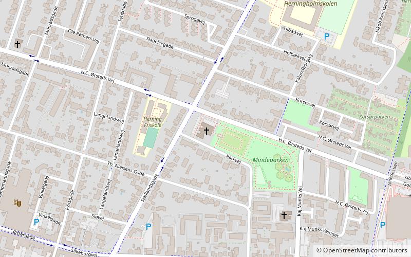
Map
Facts and practical information
Fredens Kirke (address: Sjællandsgade 34) is a place located in Herning (Midtjylland region) and belongs to the category of church.
It is situated at an altitude of 164 feet, and its geographical coordinates are 56°8'16"N latitude and 8°59'21"E longitude.
Planning a visit to this place, one can easily and conveniently get there by public transportation. Fredens Kirke is a short distance from the following public transport stations: Herning Station (bus, 14 min walk), Herning (train, 15 min walk).
Among other places and attractions worth visiting in the area are: Herning Centret (shopping, 11 min walk), Herning Kirke (church, 14 min walk), Herningsholm (specialty museum, 17 min walk).
Coordinates: 56°8'16"N, 8°59'21"E
Getting there by public transportation
Public transportation stops near this location
- Bus
- Train
 Bus
Bus
- Calculate routeHerning Station 14 min walk
- Calculate routeDalgasgade 20 min walk
- Calculate routeHerning 15 min walk
Day trips


Frequently Asked Questions (FAQ)
Which popular attractions are close to Fredens Kirke?
Nearby attractions include Herning Kirke, Herning (14 min walk), Herningsholm, Herning (17 min walk), Danmarks Fotomuseum, Herning (20 min walk).
How to get to Fredens Kirke by public transport?
The nearest stations to Fredens Kirke:
Bus
Train
Bus
- Herning Station • Lines: 81 (14 min walk)
- Dalgasgade • Lines: 81 (20 min walk)
Train
- Herning (15 min walk)