Herning Kirke, Herning

Facts and practical information
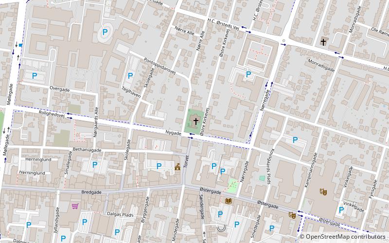
Herning Kirke (address: Østre Kirkevej 1) is a place located in Herning (Midtjylland region) and belongs to the category of church.
It is situated at an altitude of 190 feet, and its geographical coordinates are 56°8'16"N latitude and 8°58'32"E longitude.
Planning a visit to this place, one can easily and conveniently get there by public transportation. Herning Kirke is a short distance from the following public transport stations: Herning Station (bus, 8 min walk), Herning (train, 10 min walk).
Among other places and attractions worth visiting in the area are: Danmarks Fotomuseum (specialty museum, 10 min walk), Textilforum (museum, 13 min walk), Fredens Kirke (church, 14 min walk).
- Bus
- Train
 Bus
Bus
- Calculate routeHerning Station 8 min walk
- Calculate routeDalgasgade 9 min walk
- Calculate routeMCH Herning 37 min walk
- Calculate routeHerning 10 min walk
Herning Kirke – popular in the area (distance from the attraction)
Nearby attractions include: Herning Centret, Danmarks Fotomuseum, Herningsholm, Fredens Kirke.


Frequently Asked Questions (FAQ)
Which popular attractions are close to Herning Kirke?
How to get to Herning Kirke by public transport?
Bus
- Herning Station • Lines: 81 (8 min walk)
- Dalgasgade • Lines: 81 (9 min walk)
Train
- Herning (10 min walk)