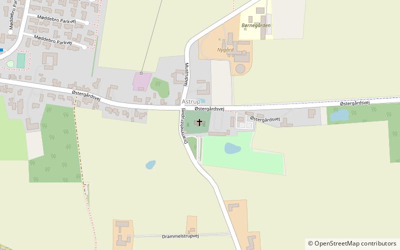
Astrup kirke, Aarhus


Facts and practical information
Astrup kirke (address: Østergårdsvej 225) is a place located in Aarhus (Midtjylland region) and belongs to the category of church.
It is situated at an altitude of 246 feet, and its geographical coordinates are 56°2'1"N latitude and 10°6'14"E longitude.
Planning a visit to this place, one can easily and conveniently get there by public transportation. Astrup kirke is a short distance from the following public transport stations: Østergårdsvej/Solbjerg Hovedgade (bus, 24 min walk).
Among other places and attractions worth visiting in the area are: Stilling-Solbjerg Lake (nature, 71 min walk), Mårslet (locality, 86 min walk), Malling Kirke, Malling (historical place, 90 min walk).
Astrup kirke – popular in the area (distance from the attraction)
Nearby attractions include: Moesgård, Moesgård Forest Mill, Vilhelmsborg, Kolt Church.
Frequently Asked Questions (FAQ)
How to get to Astrup kirke by public transport?
Bus
- Østergårdsvej/Solbjerg Hovedgade • Lines: 202 (24 min walk)
- Solbjerg Hedevej/Solbjerg Hovedgade • Lines: 202 (30 min walk)


