Unicars, Birkerød

Gallery (1)
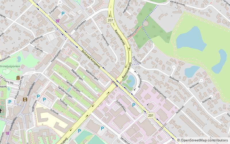
Map
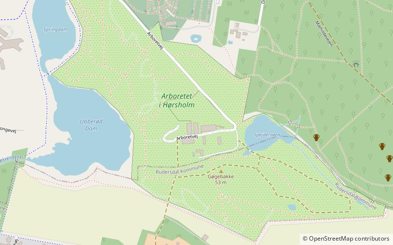
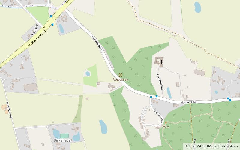
Map
Facts and practical information
Unicars (address: Birkerød Kongevej 74) is a place located in Birkerød (Hovedstaden region) and belongs to the category of sightseeing.
It is situated at an altitude of 157 feet, and its geographical coordinates are 55°50'33"N latitude and 12°26'18"E longitude.
Among other places and attractions worth visiting in the area are: Birkerød Church (church, 9 min walk), Birkerød Kunstforening (museum, 11 min walk), Åsebakken Priory (monastery, 37 min walk).
Coordinates: 55°50'33"N, 12°26'18"E
Address
Birkerød Kongevej 74Birkerød
ContactAdd
Social media
Add
Day trips


Frequently Asked Questions (FAQ)
Which popular attractions are close to Unicars?
Nearby attractions include Birkerød Church, Birkerød (9 min walk), Birkerød Kunstforening, Birkerød (11 min walk).