Nørre Tranders Kirke, Aalborg

Gallery (1)
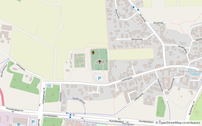
Map
Map
Facts and practical information
Nørre Tranders Kirke (address: Lemvigvej 61) is a place located in Aalborg (Nordjylland region) and belongs to the category of church.
It is situated at an altitude of 164 feet, and its geographical coordinates are 57°1'58"N latitude and 9°58'56"E longitude.
Planning a visit to this place, one can easily and conveniently get there by public transportation. Nørre Tranders Kirke is a short distance from the following public transport stations: AAU Busterminal (bus, 31 min walk).
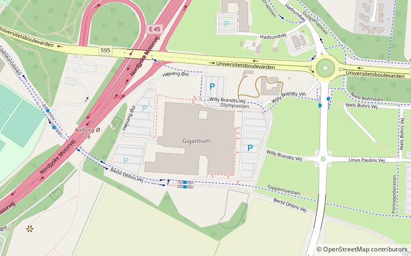
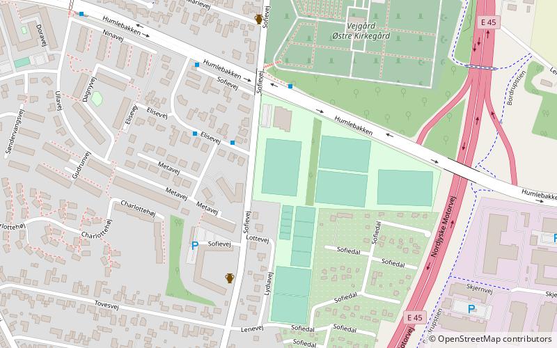
Among other places and attractions worth visiting in the area are: Soffy Road (sport, 16 min walk), Circle K Hadsundvej Aalborg Ø (bridge, 25 min walk), Aalborg University (universities and schools, 30 min walk).
Coordinates: 57°1'58"N, 9°58'56"E
Getting there by public transportation
Public transportation stops near this location
- Bus
 Bus
Bus
- Calculate routeAAU Busterminal 31 min walk
Day trips


Frequently Asked Questions (FAQ)
How to get to Nørre Tranders Kirke by public transport?
The nearest stations to Nørre Tranders Kirke:
Bus
Bus
- AAU Busterminal (31 min walk)