Christiansfeld Pharmacy, Christiansfeld
Map

Map

Facts and practical information
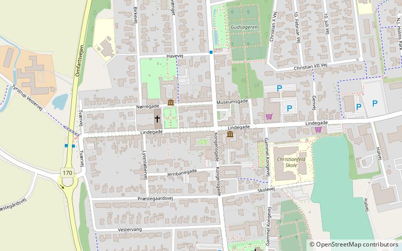
Christiansfeld Pharmacy was established in 1785 in Christiansfeld, Denmark. Its building at Lindegade 21 was in 1945 listed in the Danish registry of protected buildings and places. ()
Coordinates: 55°21'20"N, 9°28'58"E
Address
Christiansfeld
ContactAdd
Social media
Add
Day trips
Christiansfeld Pharmacy – popular in the area (distance from the attraction)
Nearby attractions include: Skamlingsbanken, Brødremenighedens Kirke, Tyrstrup Kirke, Sillerup Mølle.
Frequently Asked Questions (FAQ)
Which popular attractions are close to Christiansfeld Pharmacy?
Nearby attractions include Brødremenighedens Kirke, Christiansfeld (2 min walk), Tyrstrup Kirke, Christiansfeld (6 min walk).


