Navigation School, Copenhagen
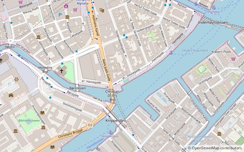
Map

Map

Facts and practical information
The Navigation School is a former educational institution in Copenhagen, Denmark. Its Historicist building on Havnegade is listed. ()
Coordinates: 55°40'35"N, 12°35'16"E
Address
Indre By (Gammelholms)Copenhagen
ContactAdd
Social media
Add
Day trips
Navigation School – popular in the area (distance from the attraction)
Nearby attractions include: Købmagergade, Karel van Mander House, Charlottenborg Palace, Holmen Church.
Frequently Asked Questions (FAQ)
Which popular attractions are close to Navigation School?
Nearby attractions include Statue of Niels Juel, Copenhagen (3 min walk), Knippelsbro, Copenhagen (4 min walk), Havnegade, Copenhagen (4 min walk), Holmens Kanal, Copenhagen (4 min walk).
How to get to Navigation School by public transport?
The nearest stations to Navigation School:
Bus
Ferry
Metro
Train
Light rail
Bus
- Holmens Kirke • Lines: 23 (4 min walk)
- Knippelsbro • Lines: 2A (6 min walk)
Ferry
- Knippelsbro • Lines: 991, 992 (5 min walk)
- Nyhavn • Lines: 991, 992 (9 min walk)
Metro
- Kongens Nytorv • Lines: M1, M2, M3, M4 (7 min walk)
- Christianshavn • Lines: M1, M2 (9 min walk)
Train
- Nørreport (20 min walk)
- Copenhagen Central Station (24 min walk)
Light rail
- Nørreport • Lines: A, B, Bx, C, E, H (21 min walk)
- Copenhagen Central Station • Lines: A, B, Bx, C, E, H (25 min walk)

 Metro
Metro


